
Transform your drone flights into
ready-to-use professional deliverables.
No software or hardware costs required.
Send us the raw data captured by your drone. Our specialized team processes, analyzes, and converts it into high-precision 3D models, orthophotos, and photogrammetric surveys tailored for architects, engineers, and industry professionals.
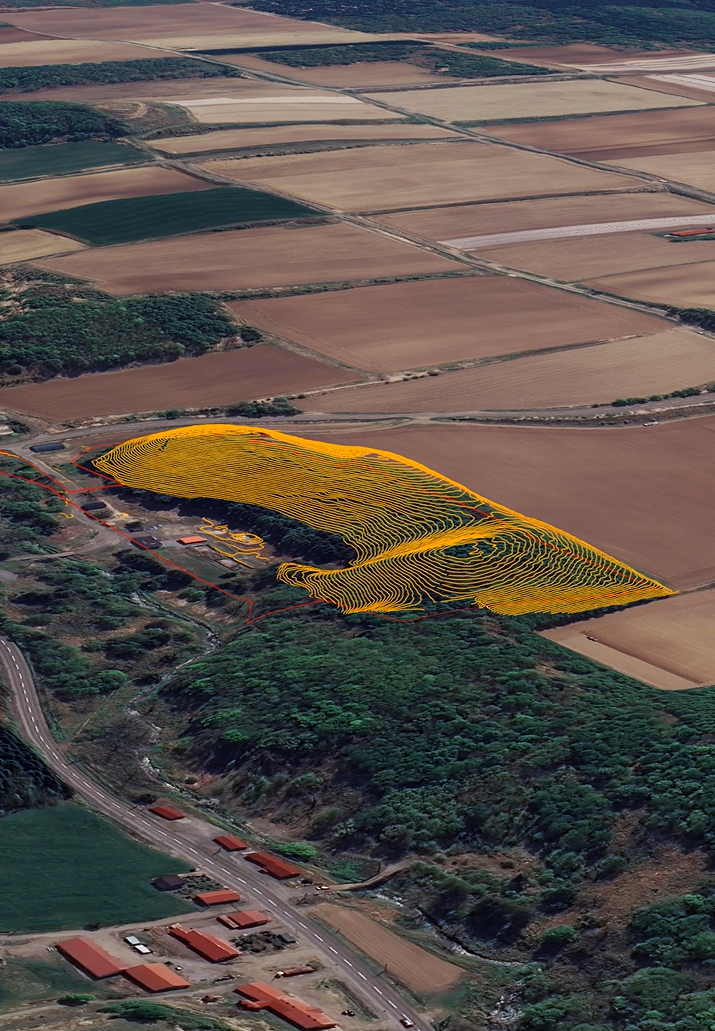
Focus on flying—we handle the post-processing.
Executing a drone survey is fast, but processing the gathered volume of data requires significant resources: expensive software licenses, high-performance workstations, and extensive hours of computation and optimization.
With the On-Demand Data Processing service by HDS Japan, you no longer need to worry about the post-production stage. We analyze and process your point clouds, thermal imagery, or RGB photos to provide accurate, clean final deliverables ready for seamless integration into your CAD/BIM workflows.
Why outsource your data processing
to HDS Japan?
Zero Software Subscription Costs
Eliminate recurring fees and annual licenses for photogrammetry software. You only pay for the projects you actually process.
Saved Calculation and Turnaround Time
Leverage our high-performance computing power. Free up your billable time and receive final deliverables quickly, ready to present to your clients.

No Hardware Investments
Processing gigabytes of data demands high-end, costly graphic workstations. By removing the need to constantly upgrade your lab hardware, you significantly reduce your overhead costs.
Proven Process, Flexible Execution
A tailored service that scales with your workload. Whether you conduct a single survey per month or manage dozens of active jobsites, a dedicated data analysis team is always at your service.
Software & Technologies Used
Precision and reliability using industry standards
We utilize market-leading technologies, including DJI Terra combined with top-tier analytical and specialized GIS software, to guarantee the highest level of metric accuracy and graphical representation.
LiDAR and Photogrammetric Data Processing
Cleaned and Georeferenced DSM/DTM Generation
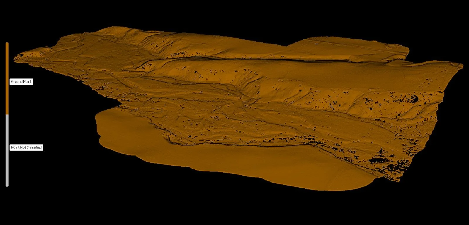
Point Cloud Optimization and Classification
Deliverables / Output Formats
We deliver standardized files fully compatible with major design software (AutoCAD, Revit, ArcGIS, QGIS, Civil 3D, etc.):
What you will receive
High-Resolution Orthophotos (TIFF/GeoTIFF)
Classified 3D Point Clouds (LAS/LAZ/PTS)
Digital Elevation Models (DEM, DTM, DSM)
3D Meshes and Textured Models (OBJ/PLY/DXF)
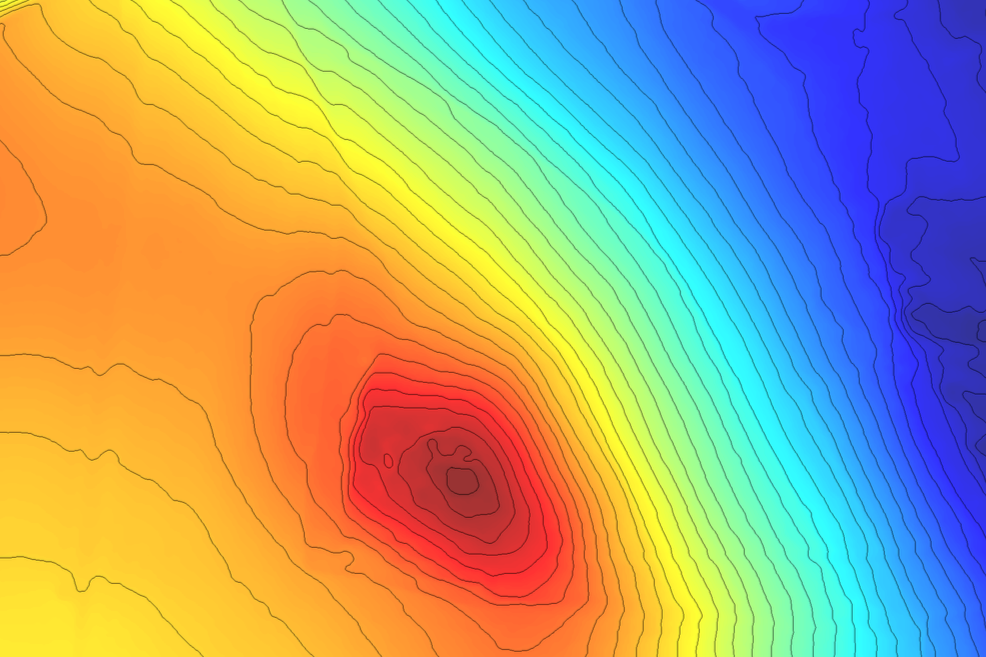
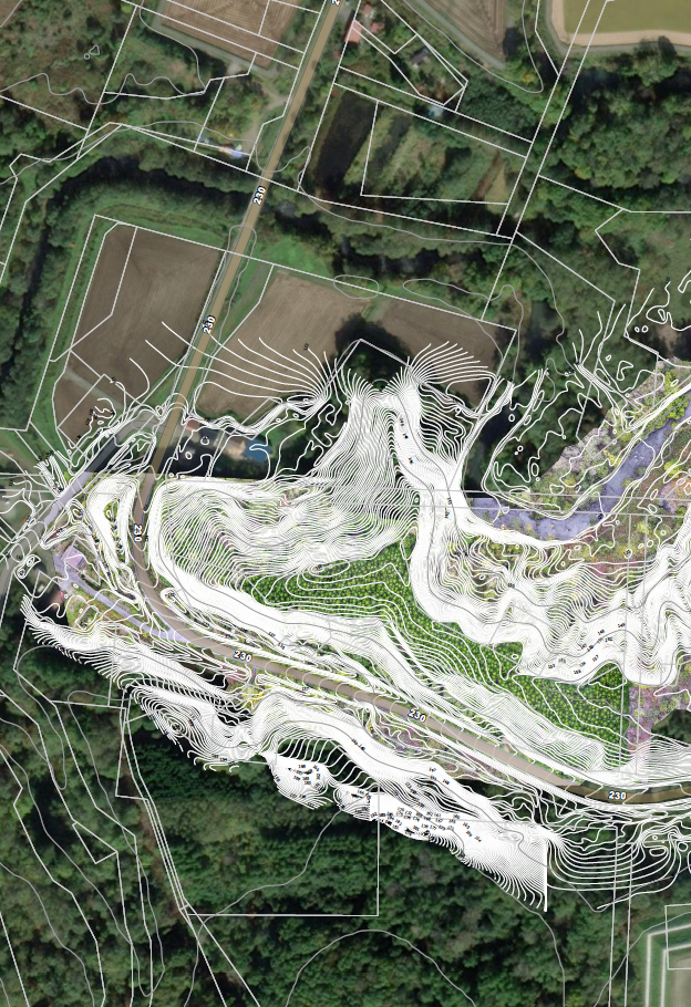
Contour Lines and Vector Extracts for Topographic Surveys
Metric Accuracy and Orientation Reports
Target Audience
Architecture & Engineering Firms:
Easily integrate site-condition surveys directly into BIM models.
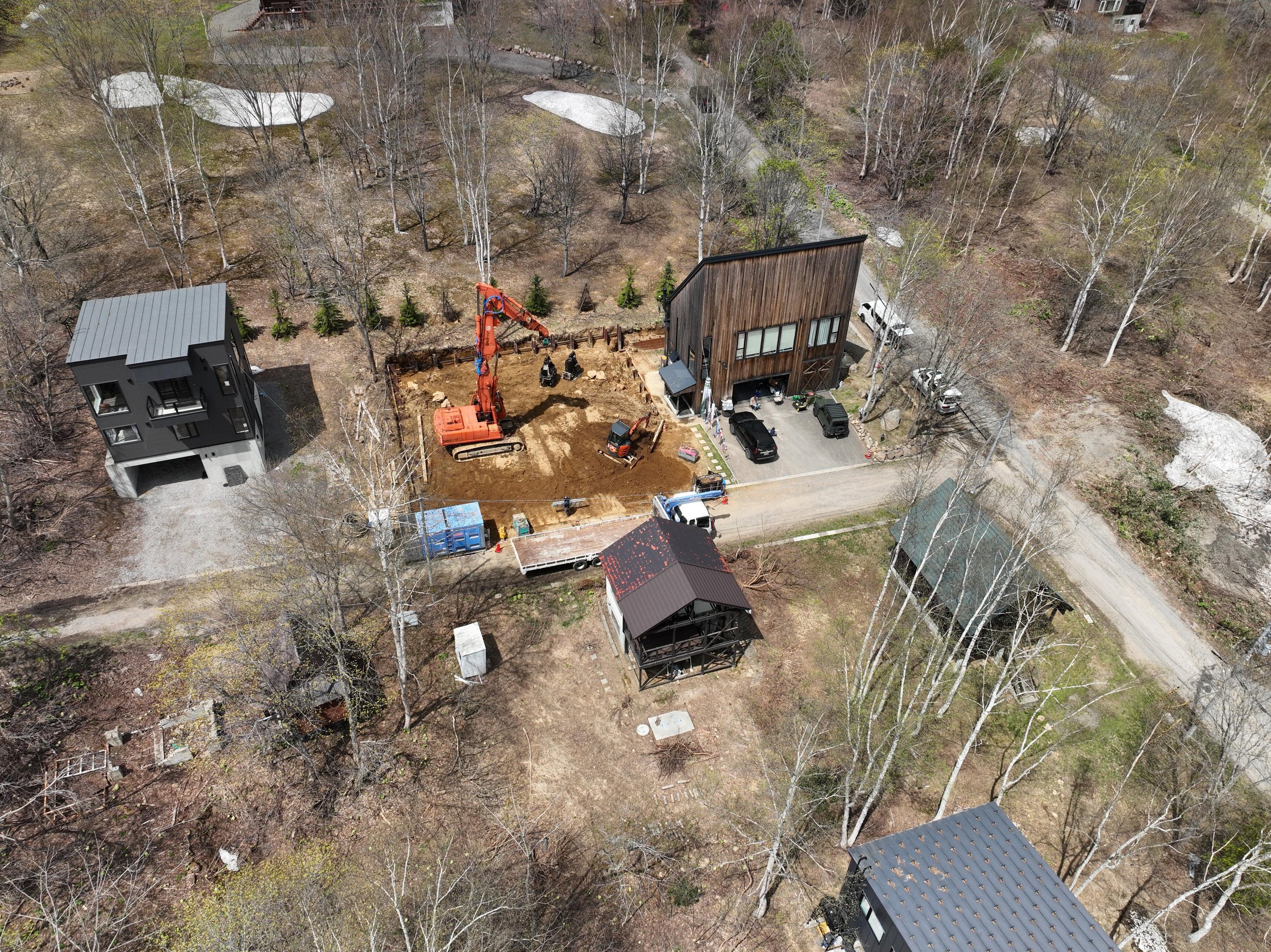
Construction Companies & General Contractors
When we deliver, it’s not just a finished product—it’s a solution you can trust, backed by real care and effort.
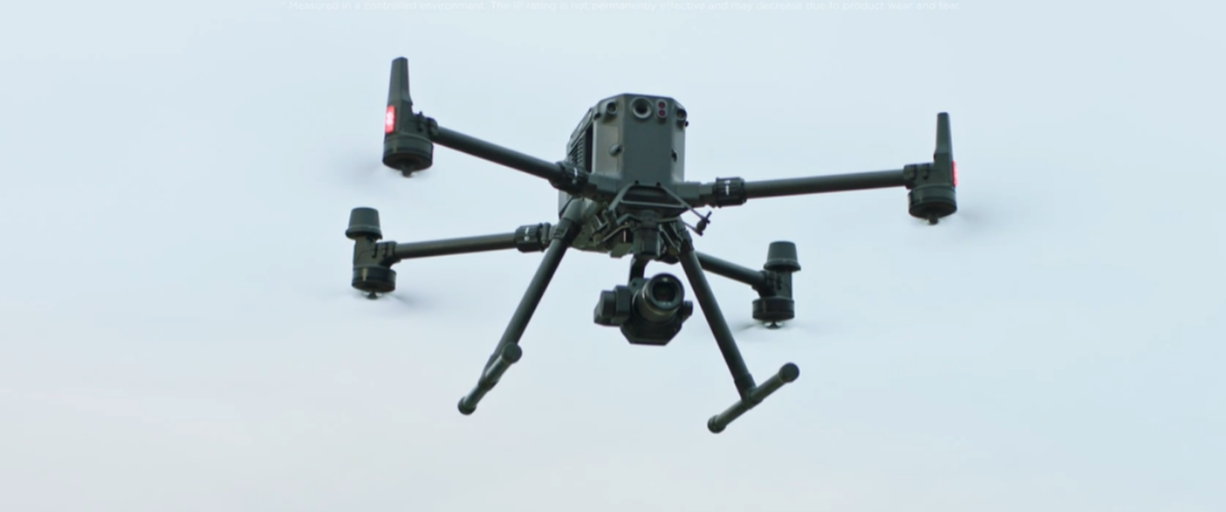
Drone Operators & UAV Pilots
Expand your service portfolio by offering professional end-to-end post-processing without upfront capital expenditure.
Outsource complex calculations to focus on field operations and cadastral workflows.
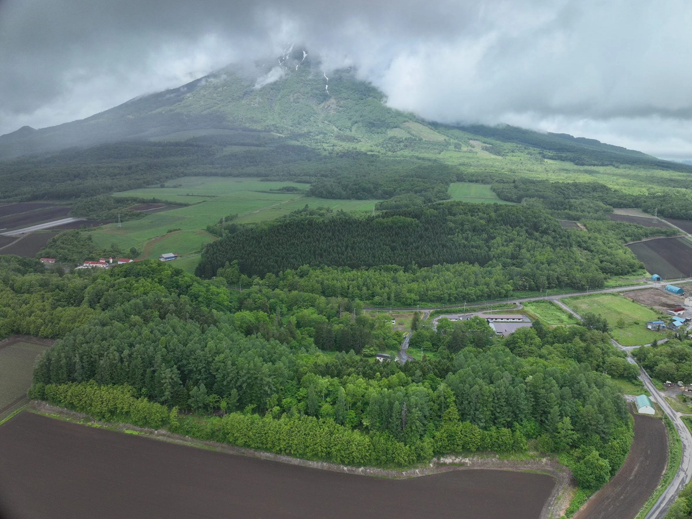
Land Surveyors & Topographers
How It Works (4-Step Workflow)
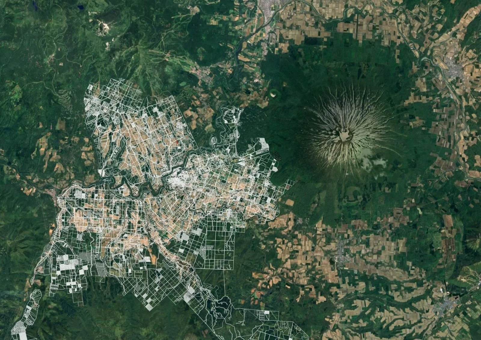
Raw Data Upload: Upload your aerial imagery or LiDAR logs to our secure platform.
1
From texture to tone, we consider the small things—because they’re what make a product truly stand out.
2
Processing & QA: We process the dataset using DJI Terra and advanced software, conducting strict quality control checks on the final model.
3
Final Delivery: Receive secure download links for your operational, production-ready 3D/CAD files.
4
Let’s Work Together
If you're interested in working with us, complete the form with a few details about your project. We'll review your message and get back to you within 48 hours.