
DRONE SURVEYS & ARCHITECTURAL BUILDING CONCEPT
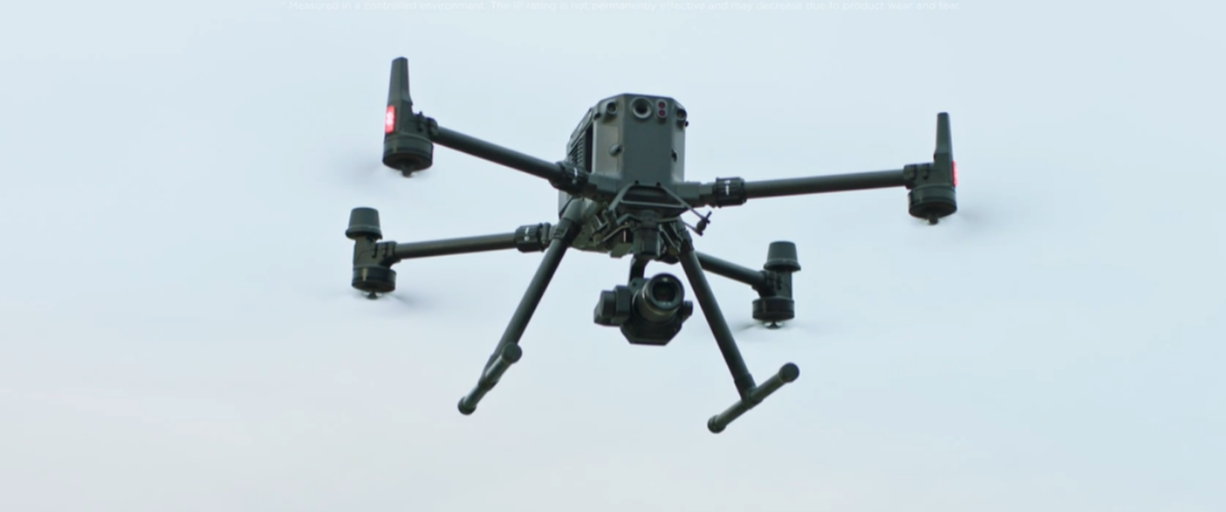
At HDS Japan, we combine state-of-the-art technical drone surveys with creative conceptual architectural design. We provide developers, investors, and private clients with a clear, impactful, and immersive vision of any land's full potential.
Whether it is a single-building project, a secluded nature resort, a boutique hotel, or a residential development, we turn the landscape's natural topography into the foundation for unique architectural concepts.
From site analysis to architectural concept: shaping your vision before construction begins.
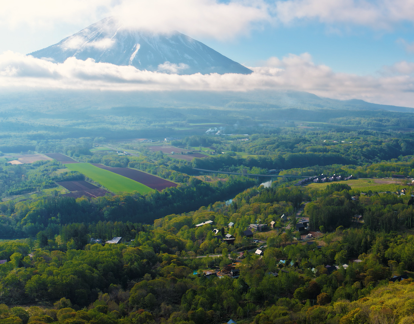
Before anything else, preparation is the key to success
Before anything else, preparation is the key to success
OUR 4-STEP PROCESS
Our streamlined approach bridges the gap between raw site data and visionary design.
By combining high-precision aerial capture with creative architectural planning, we guide your project seamlessly through four distinct phases.
1. Site Survey & Drone Flyover
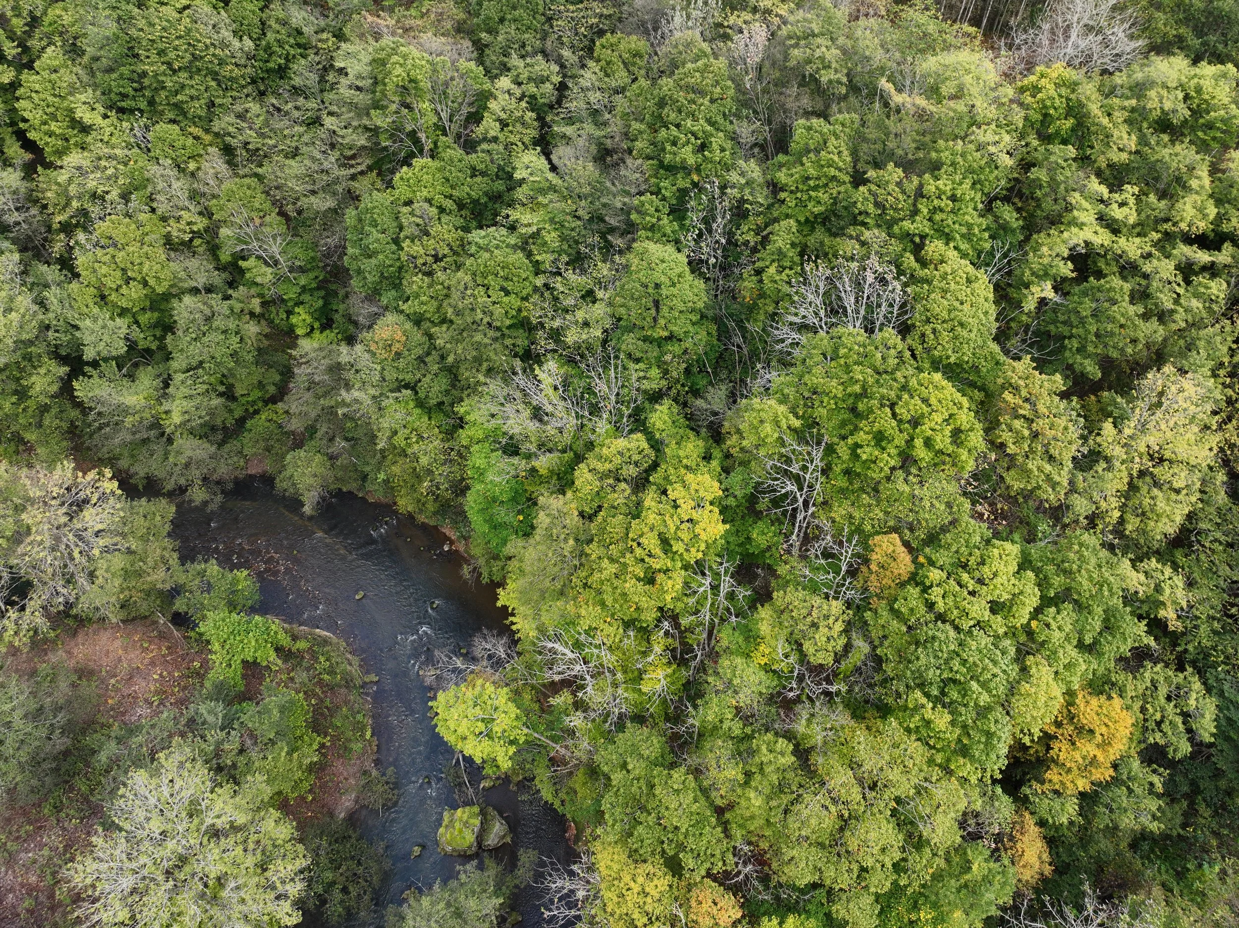
Using state-of-the-art professional drones, we carry out comprehensive aerial surveys of the project site:
We capture every angle of the terrain, analyzing its topography, sun exposure, scenic viewpoints, and surrounding environmental conditions.
2. Data Processing, Media & 3D Modeling
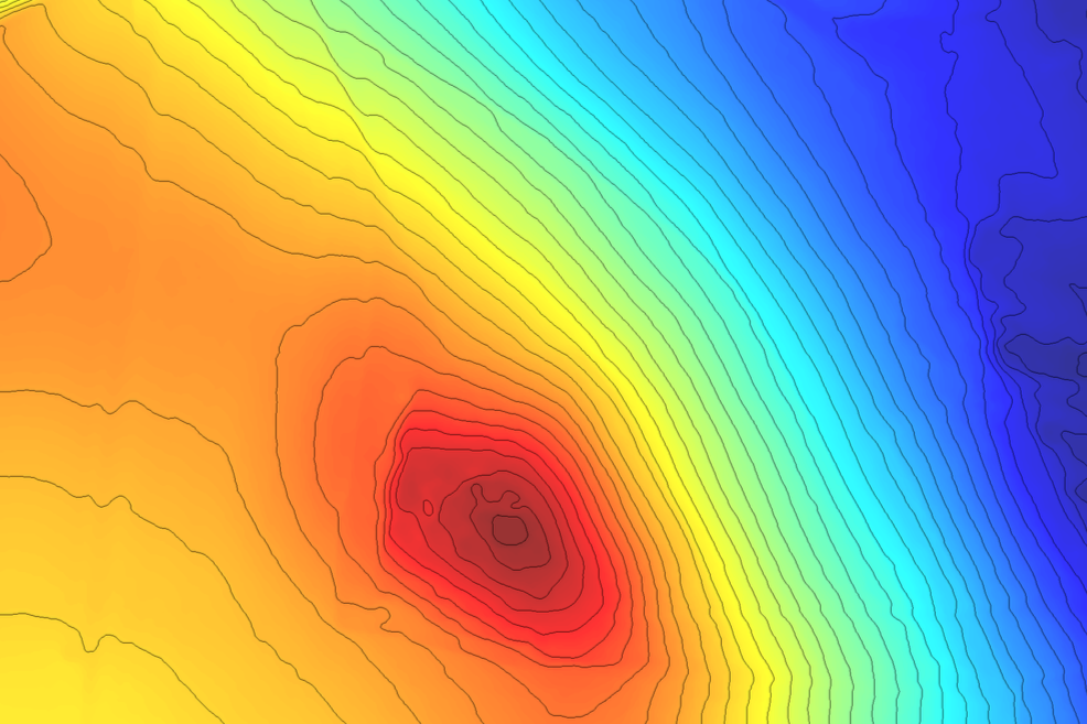
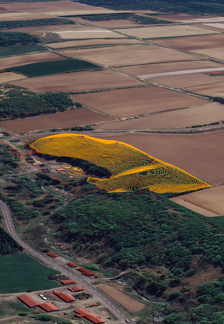
The raw site data is processed to generate:
High-resolution imagery and 4K aerial videography
Contextual landscape mapping to ensure absolute precision during the design phase.
3. Architectural Concept Development
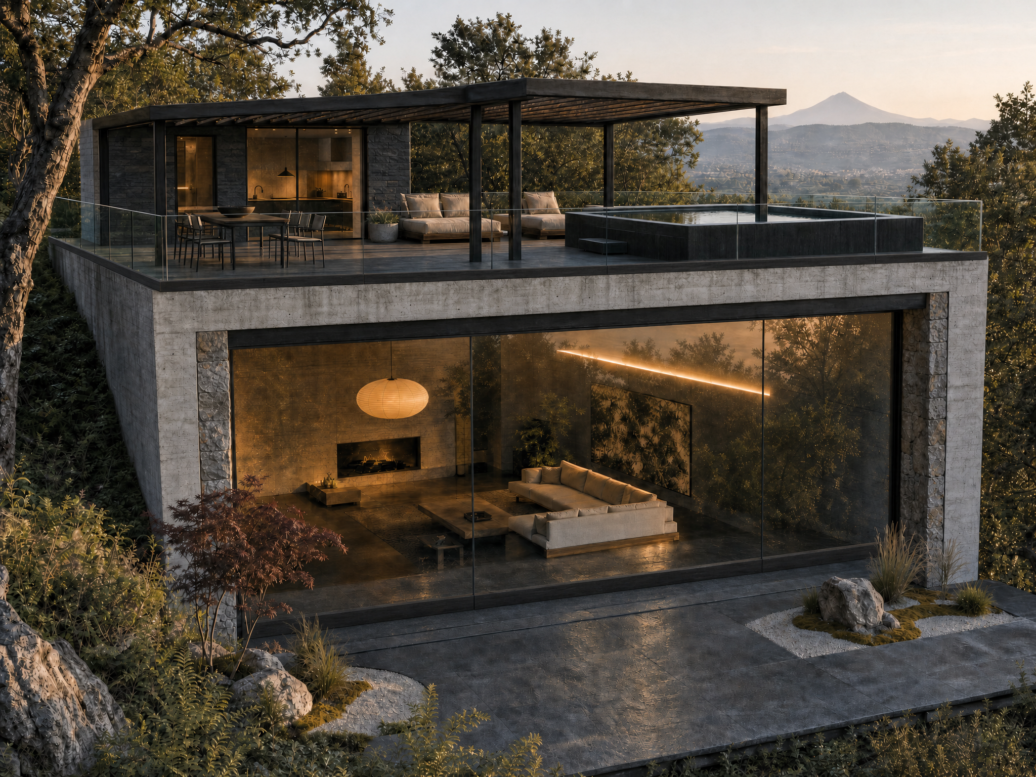
Building directly upon the 3D terrain model, our design team crafts one or more conceptual options, combining aesthetic values with architectural feasibility.
These concepts seamlessly blend architecture with the surrounding environment, exploring volumes, forms, materials, and styles (ranging from traditional layouts to contemporary or Japanese-inspired designs).
4. Concept Presentation Delivery
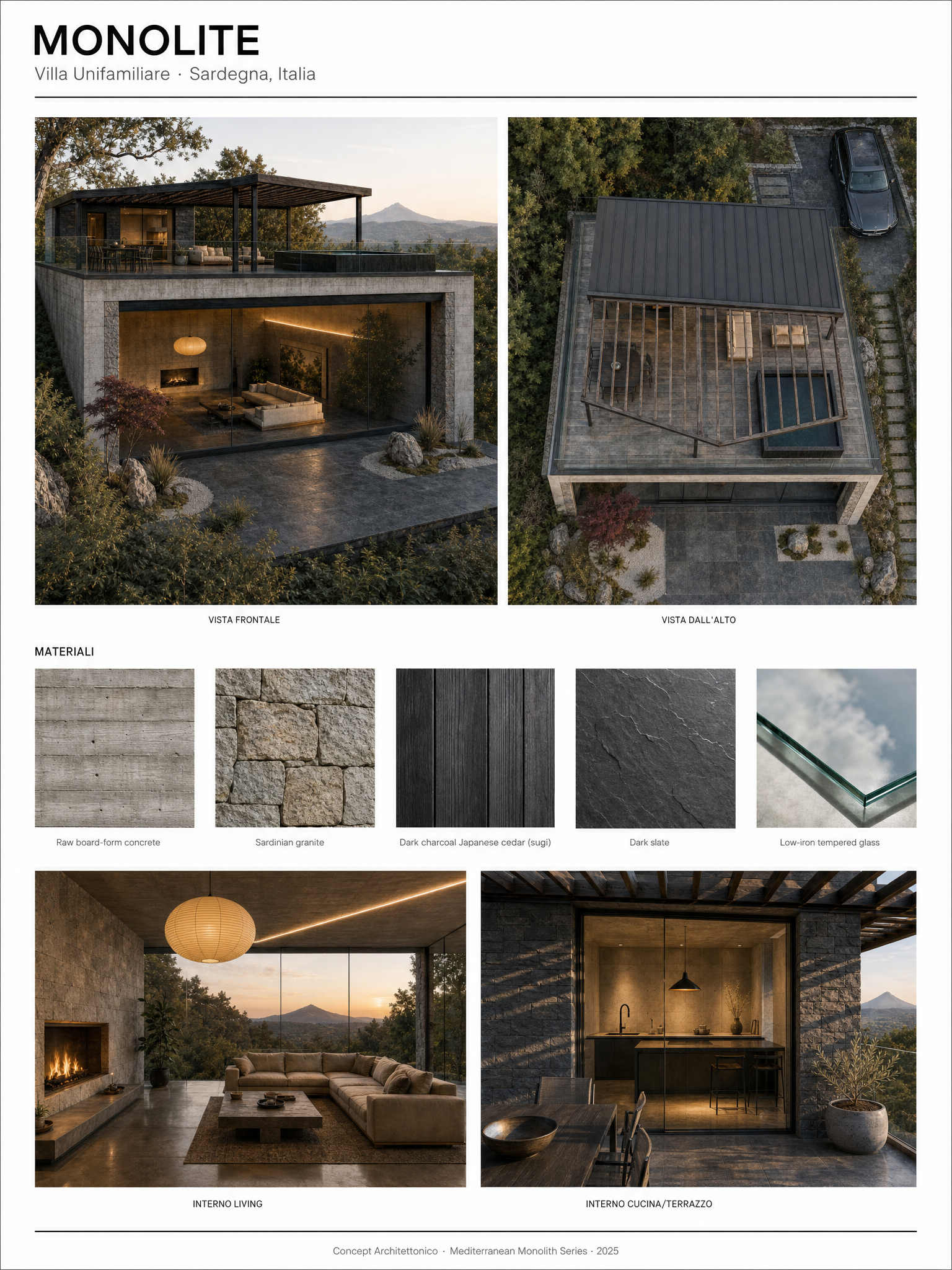
We deliver a complete presentation package ready to show stakeholders, investors, or buyers:
Promotional and experiential photo/video media, featuring 3D architectural renders integrated into the real terrain
3D models and source files of both the site and the conceptual structures
A Comprehensive Concept Deck (Pitch Deck / Digital Brochure) including renderings, conceptual layouts, and project vision.
ADVANCED TECHNICAL SERVICES & MASTERPLANNING
For projects requiring a higher degree of technical detail for permitting, official submissions, or executive design phases, HDS Japan offers high-precision integrated services:
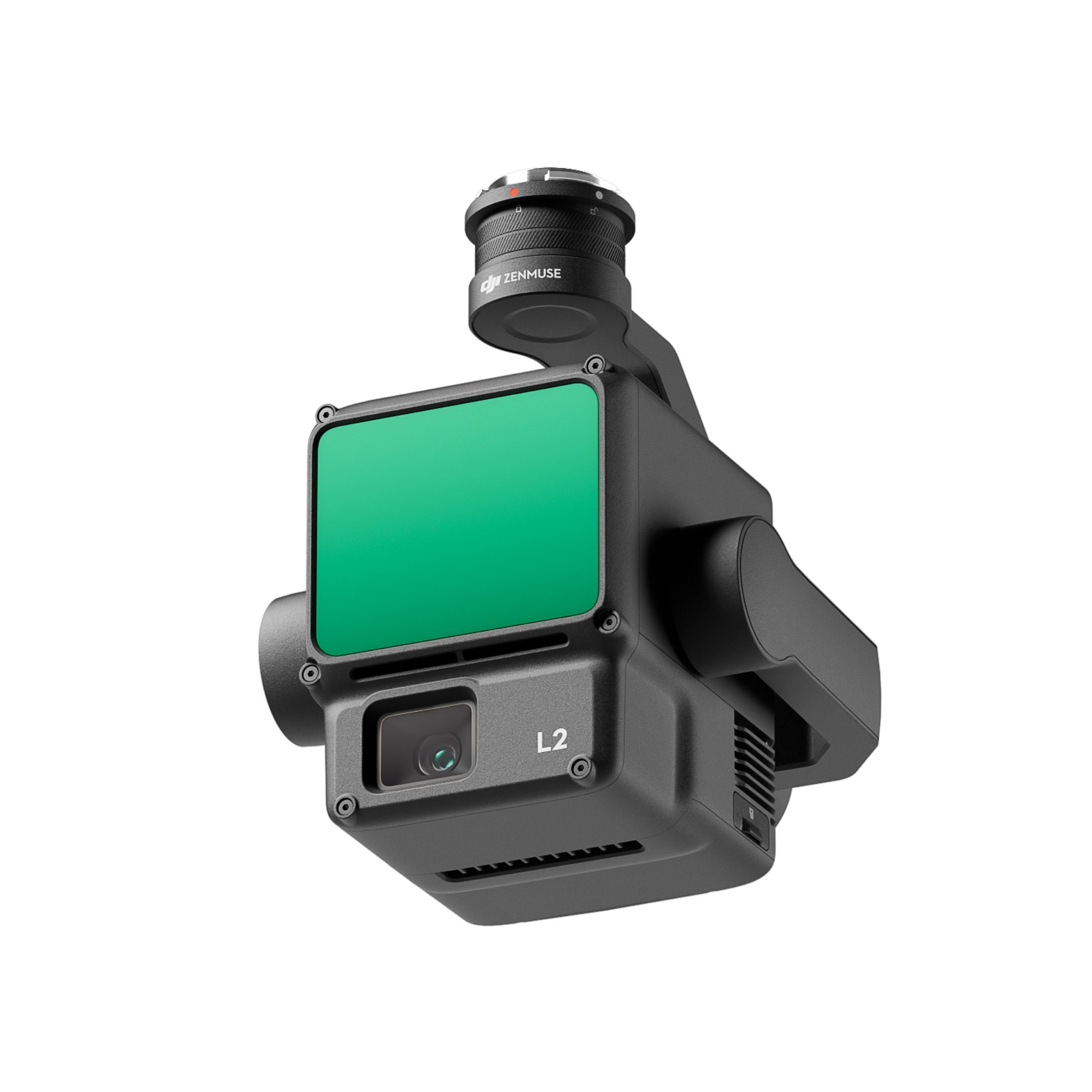
Aerial LiDAR Surveys: Drone flights equipped with LiDAR sensors to penetrate dense vegetation, producing digital terrain models (DTM/DSM) with centimeter-level precision.
Official Architectural Masterplanning: Development of comprehensive master plans optimizing spatial layout, internal access pathways, environmental impact, and overall volumetric distribution for resorts or small residential complexes.
Ready to elevate your land’s value or present an impactful project?
Contact the HDS Japan team for a preliminary consultation and discover how we can transform your site into an extraordinary architectural concept.
Initiate a Productive Dialogue
Complete the form with contextual information regarding your challenges, timelines, and desired outcomes, and our team will respond promptly with an evidence-based recommendation framework.