Showcase of our latest works.
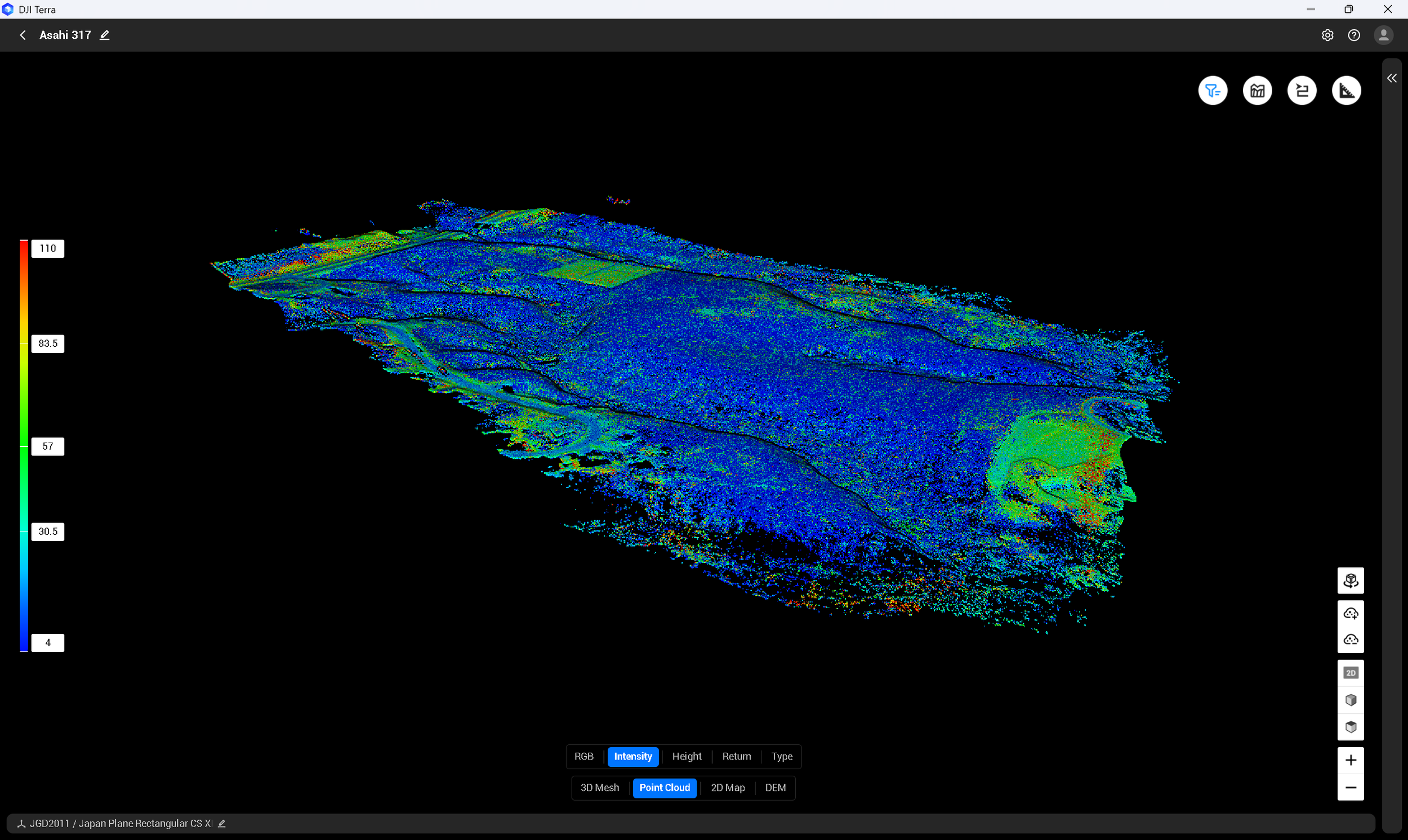
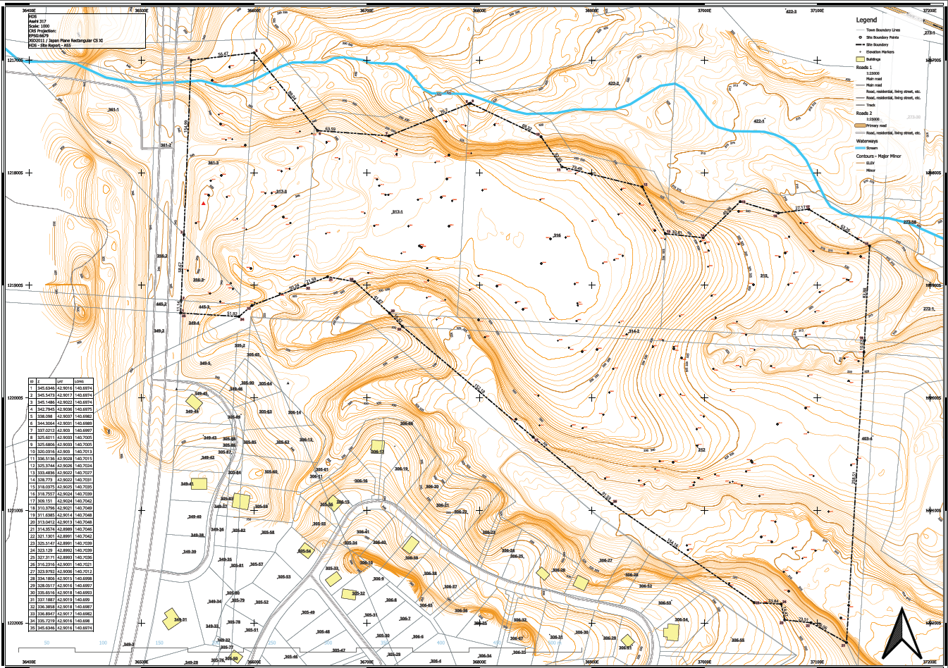
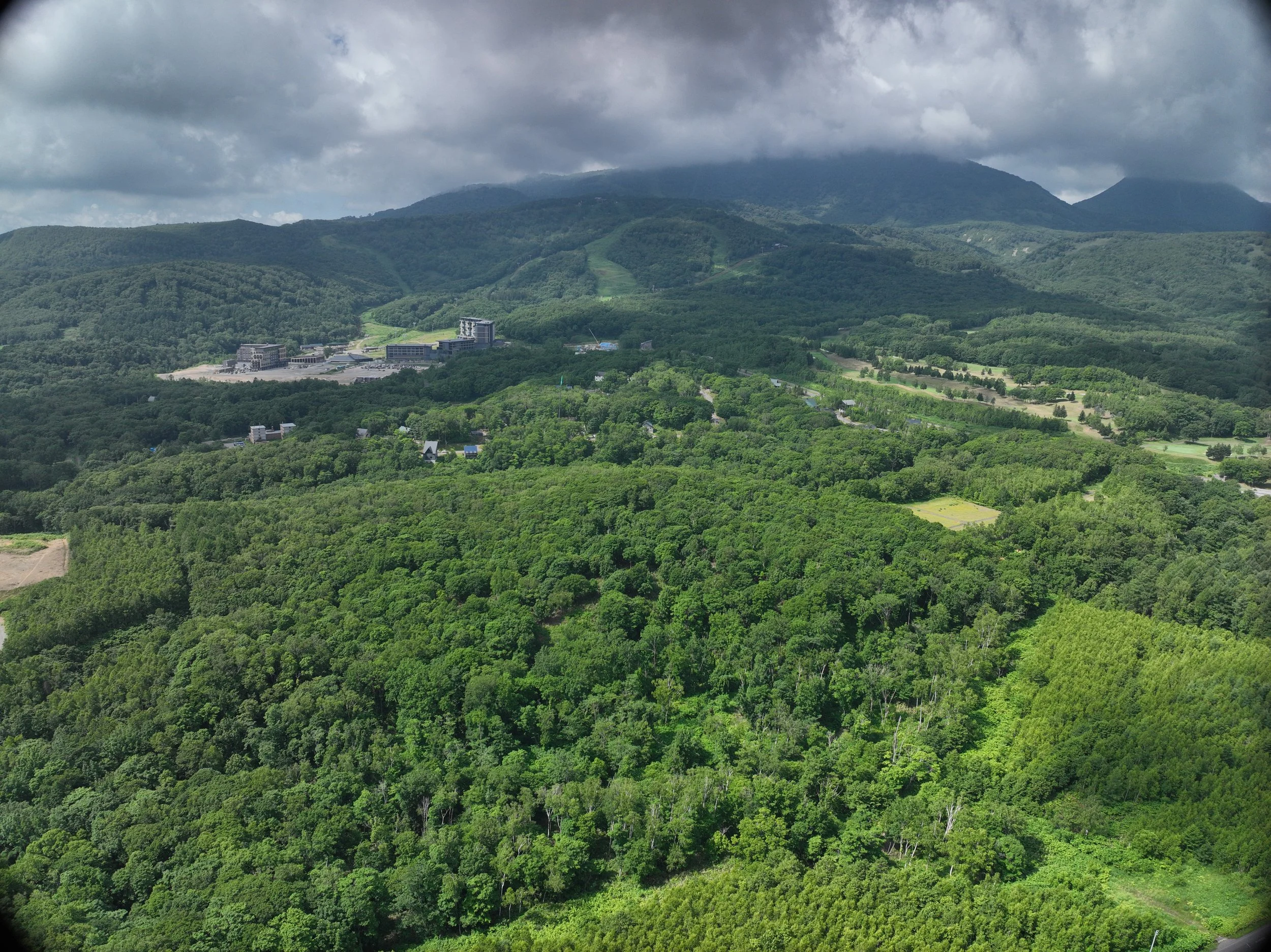
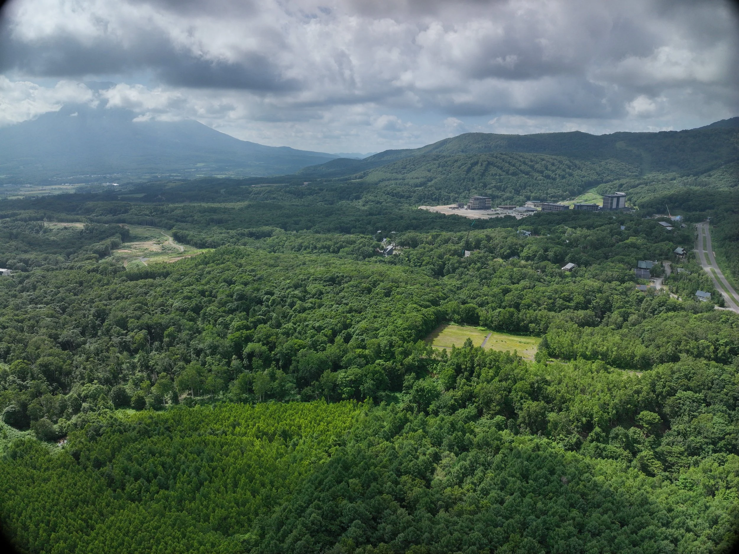
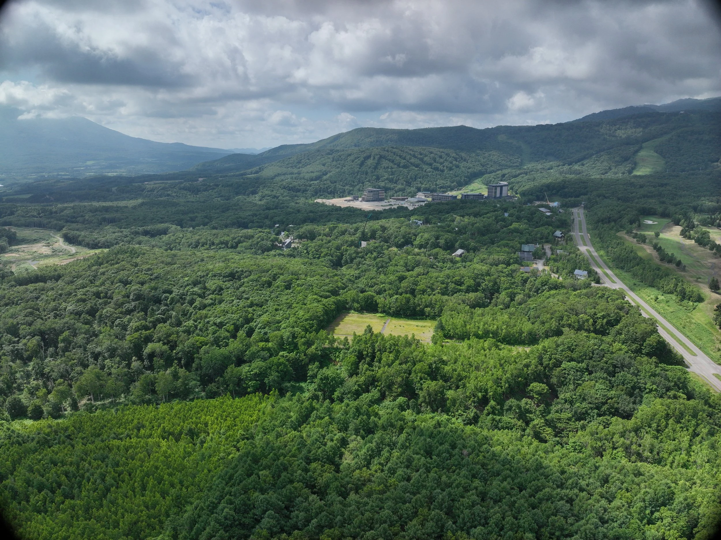
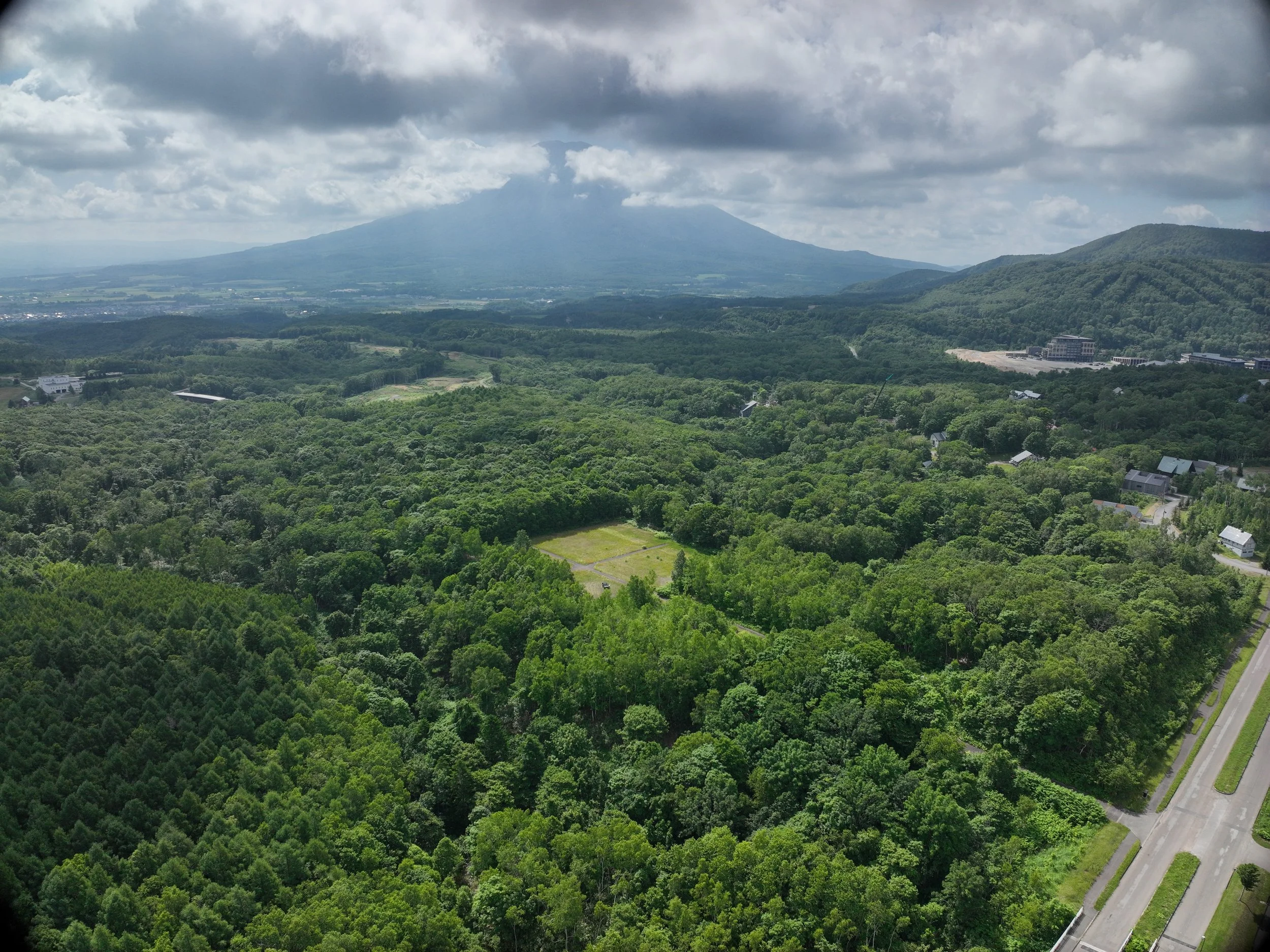
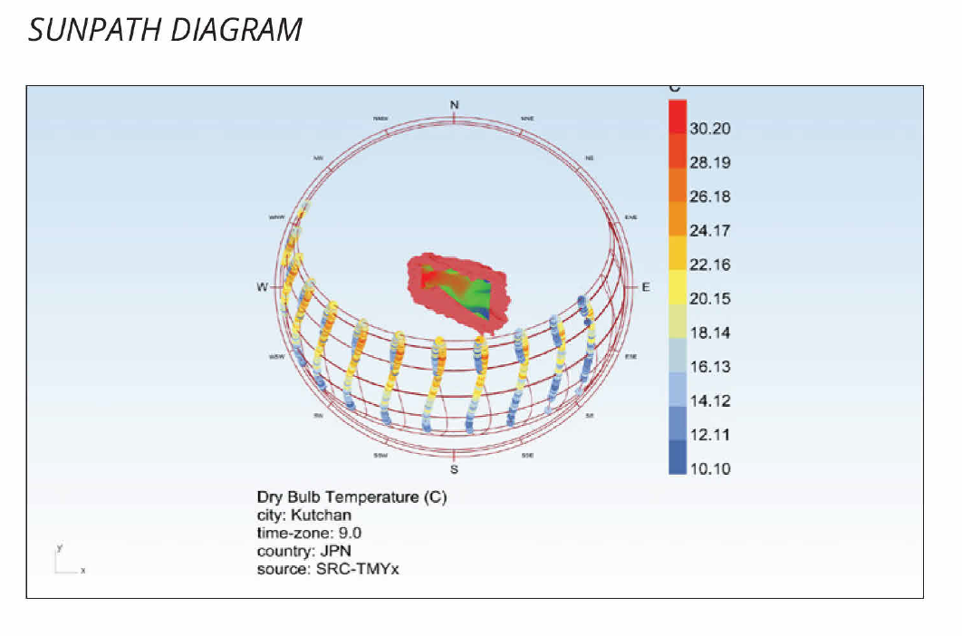
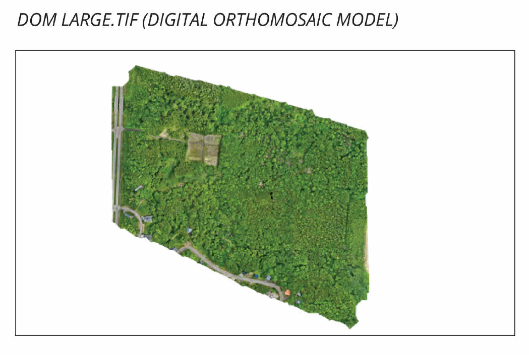
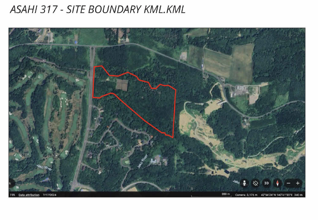
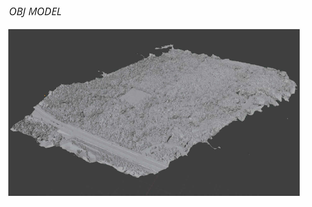
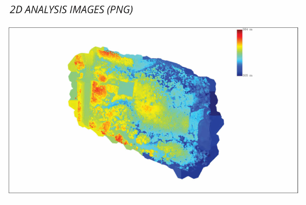
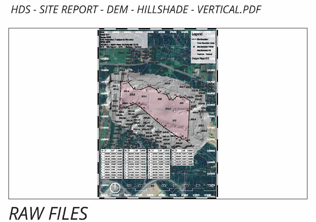
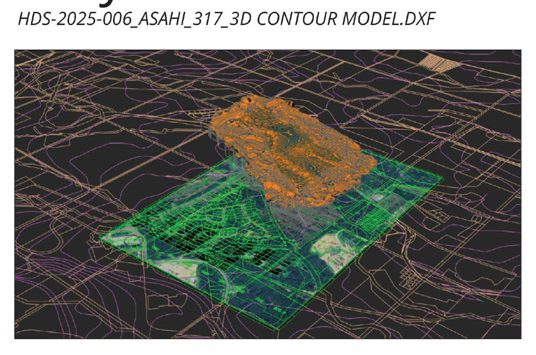
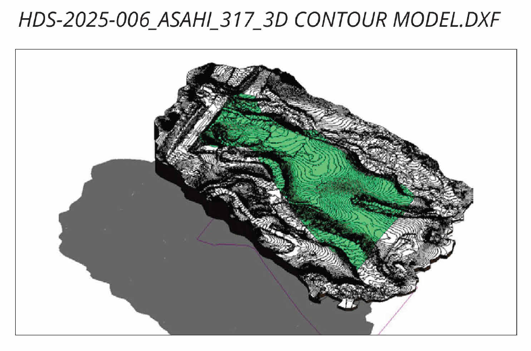
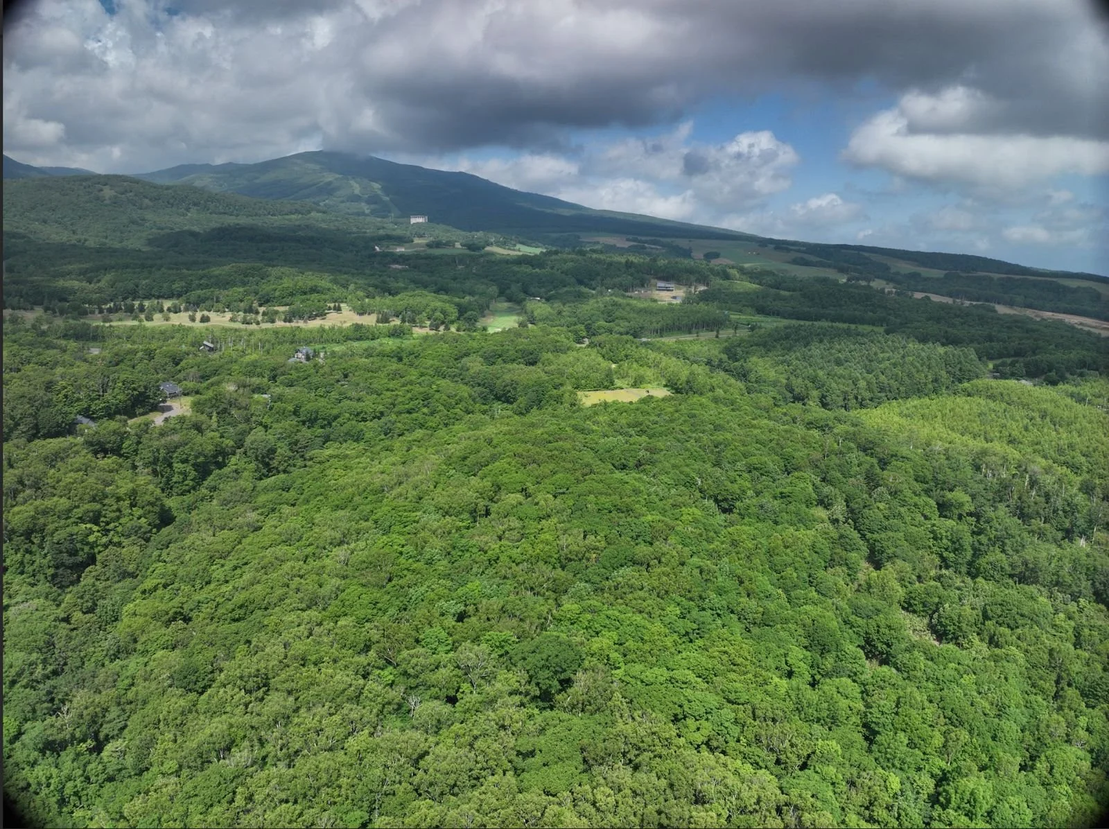
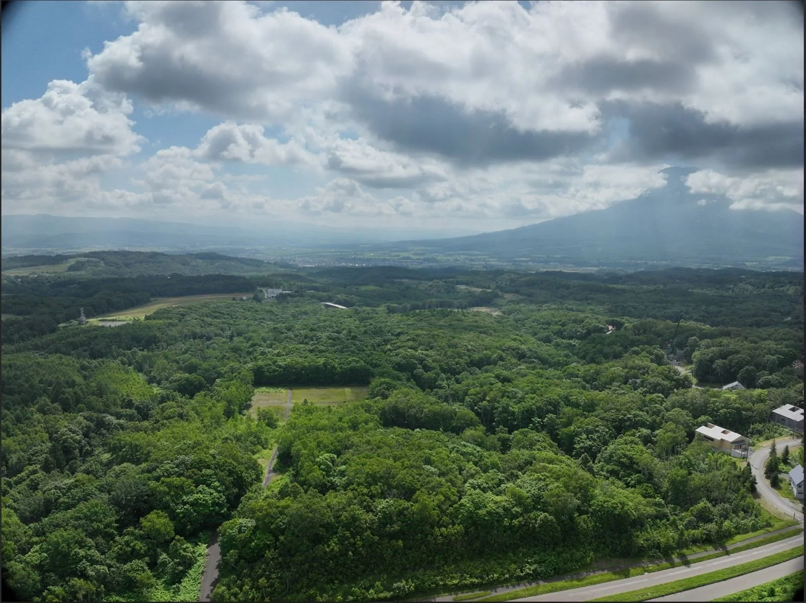
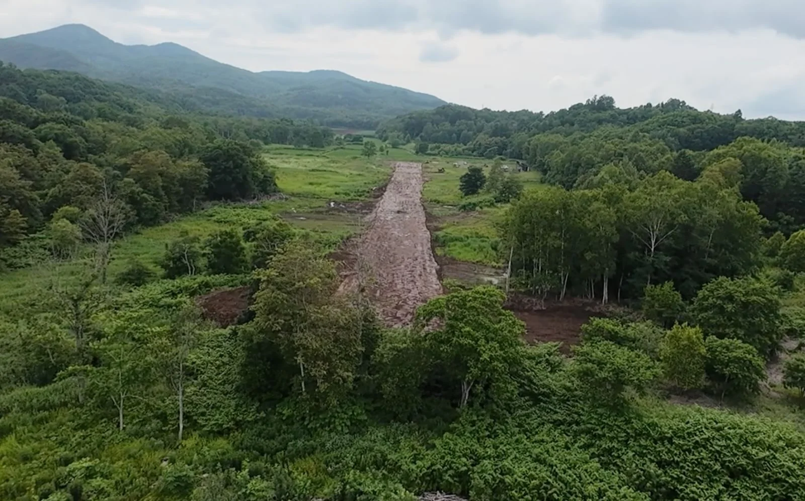
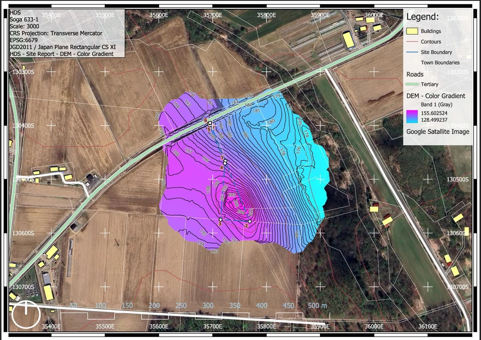
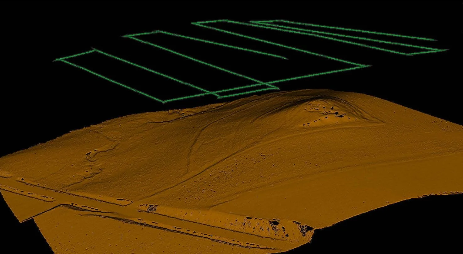
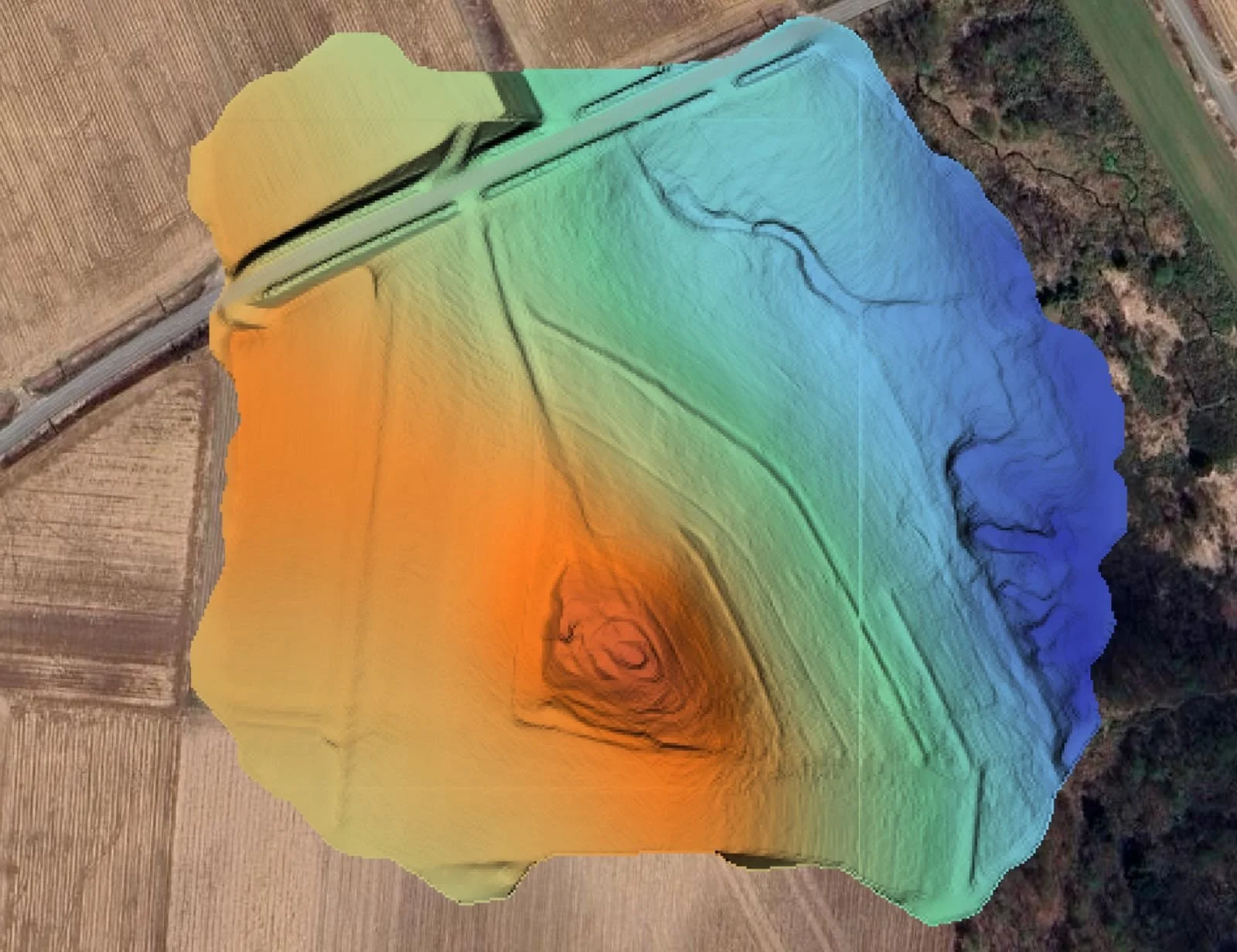
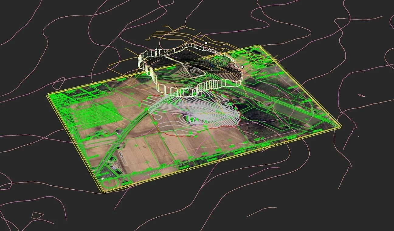
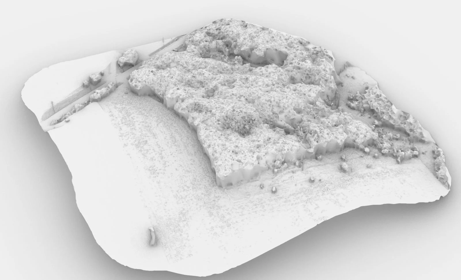
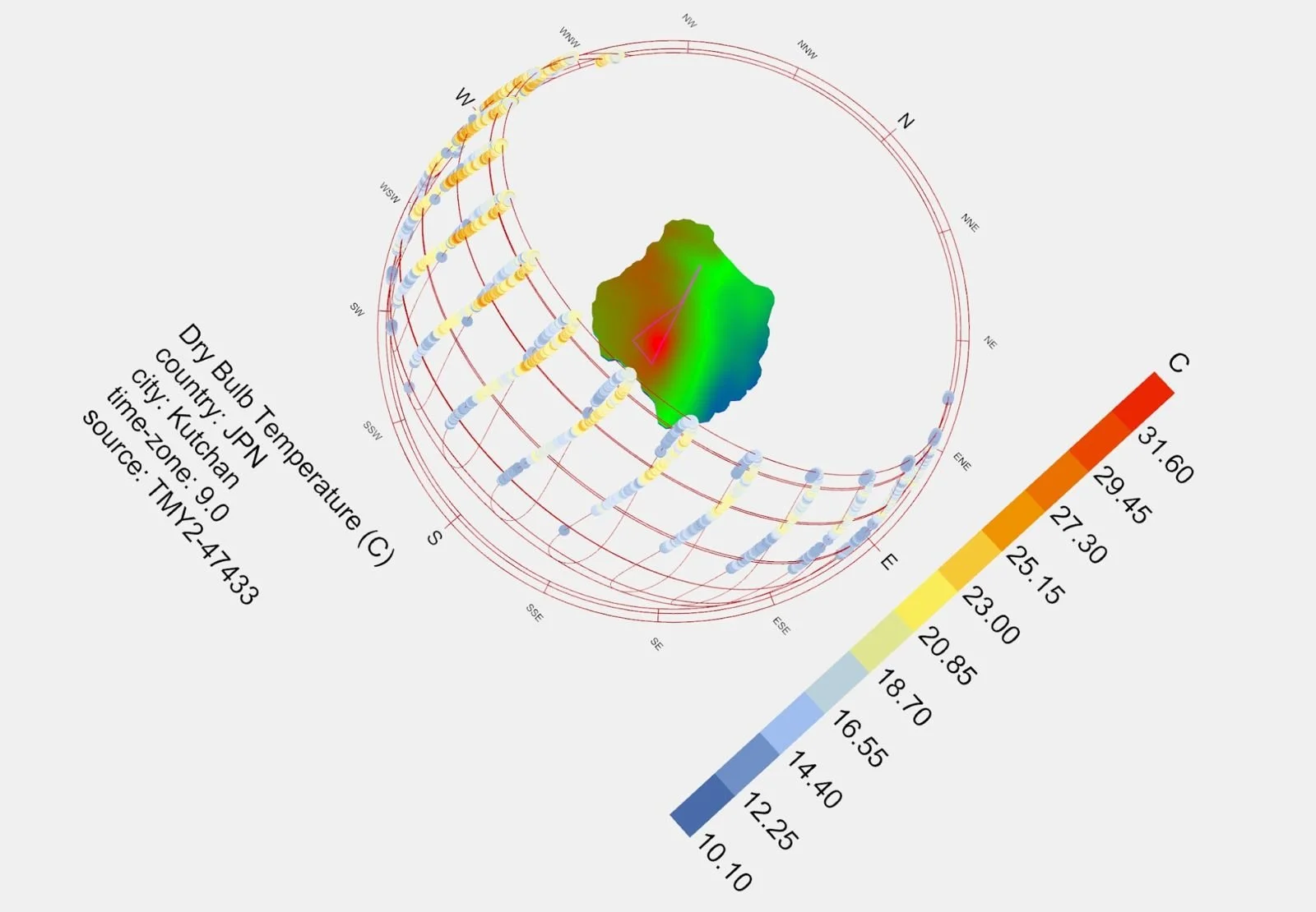
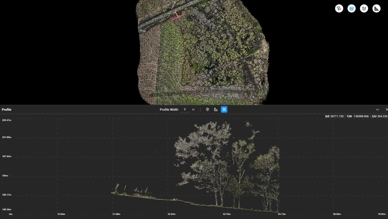
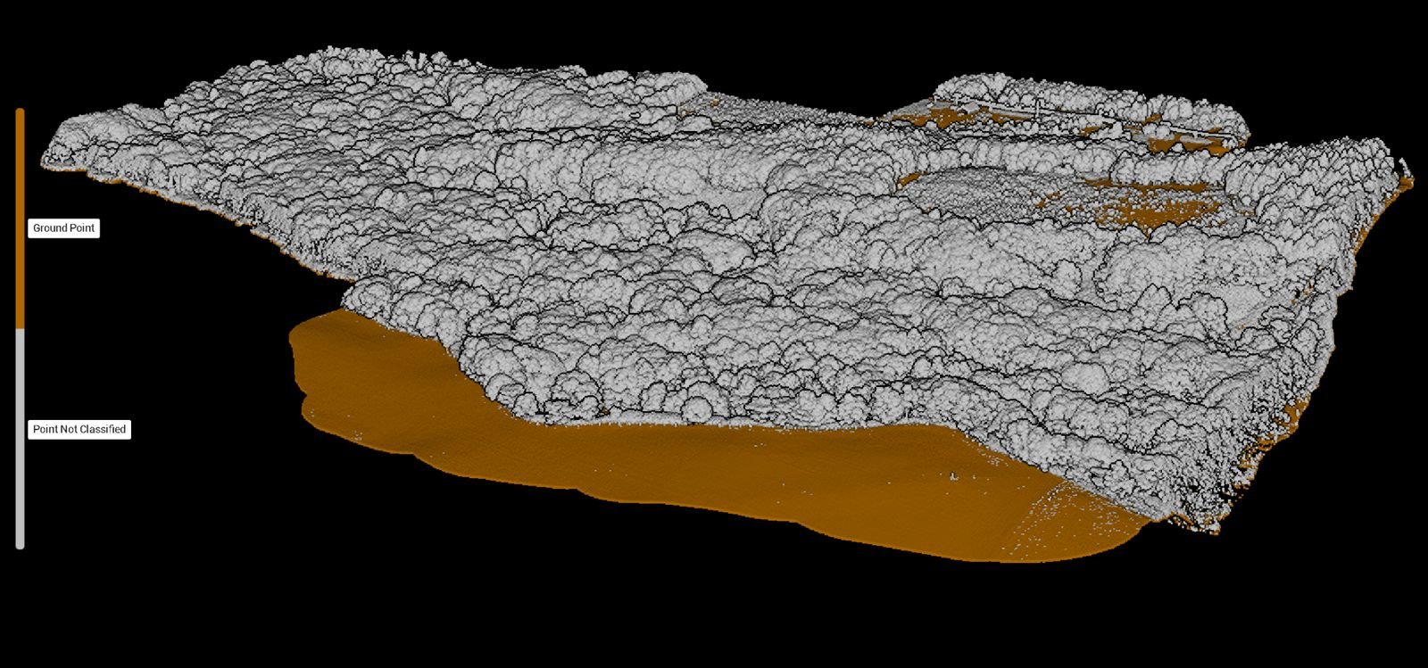
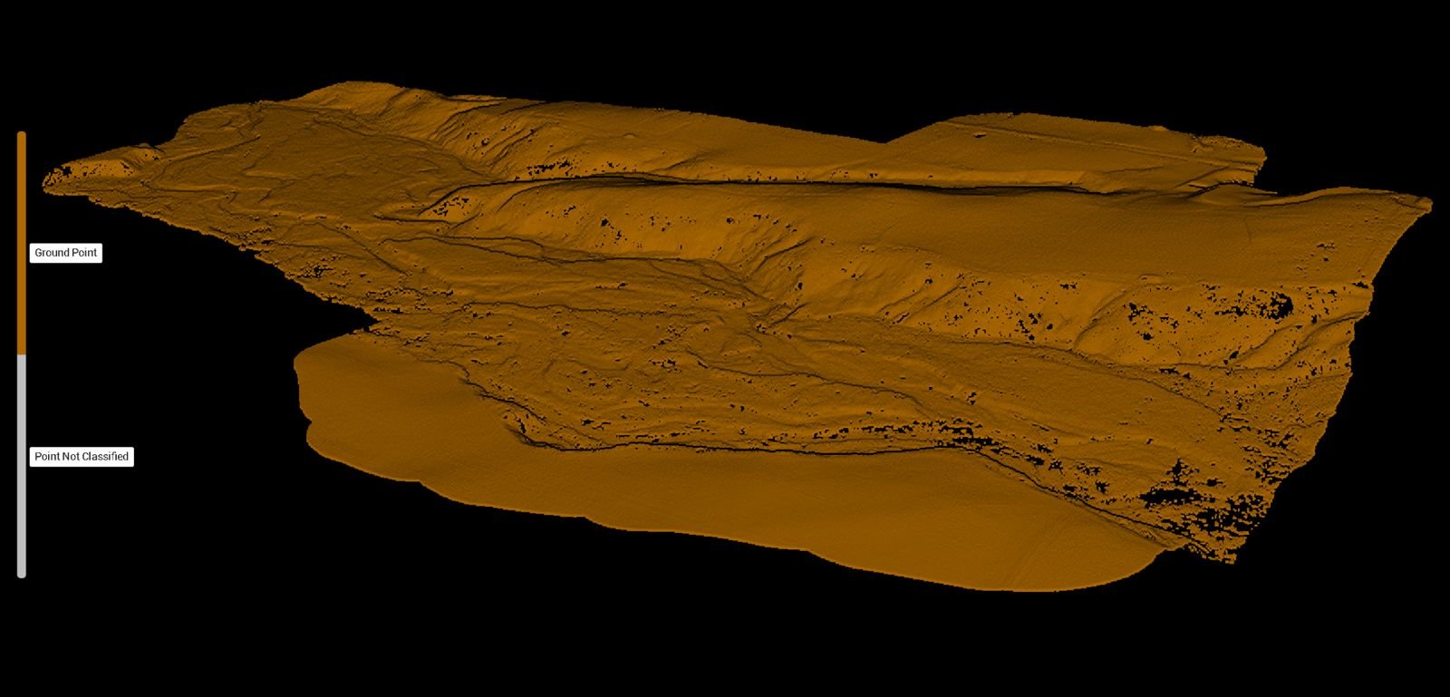
At Hokkaido Drone Services (HDS), the process begins with capturing high-quality aerial images through advanced drone surveys. These raw images are then digitally reworked using state-of-the-art software to enhance clarity, correct distortions, and create detailed visual representations. Additionally, LiDAR analysis is conducted to generate precise topographical maps and 3D models, providing valuable insights into terrain and structures. This combination of drone imagery and LiDAR data allows HDS to deliver comprehensive, accurate, and actionable information tailored to various business, creative, and technical needs.

Get a premium service today.
Contact us to receive additional info about our services or to book an appointment.
It all begins with an idea.
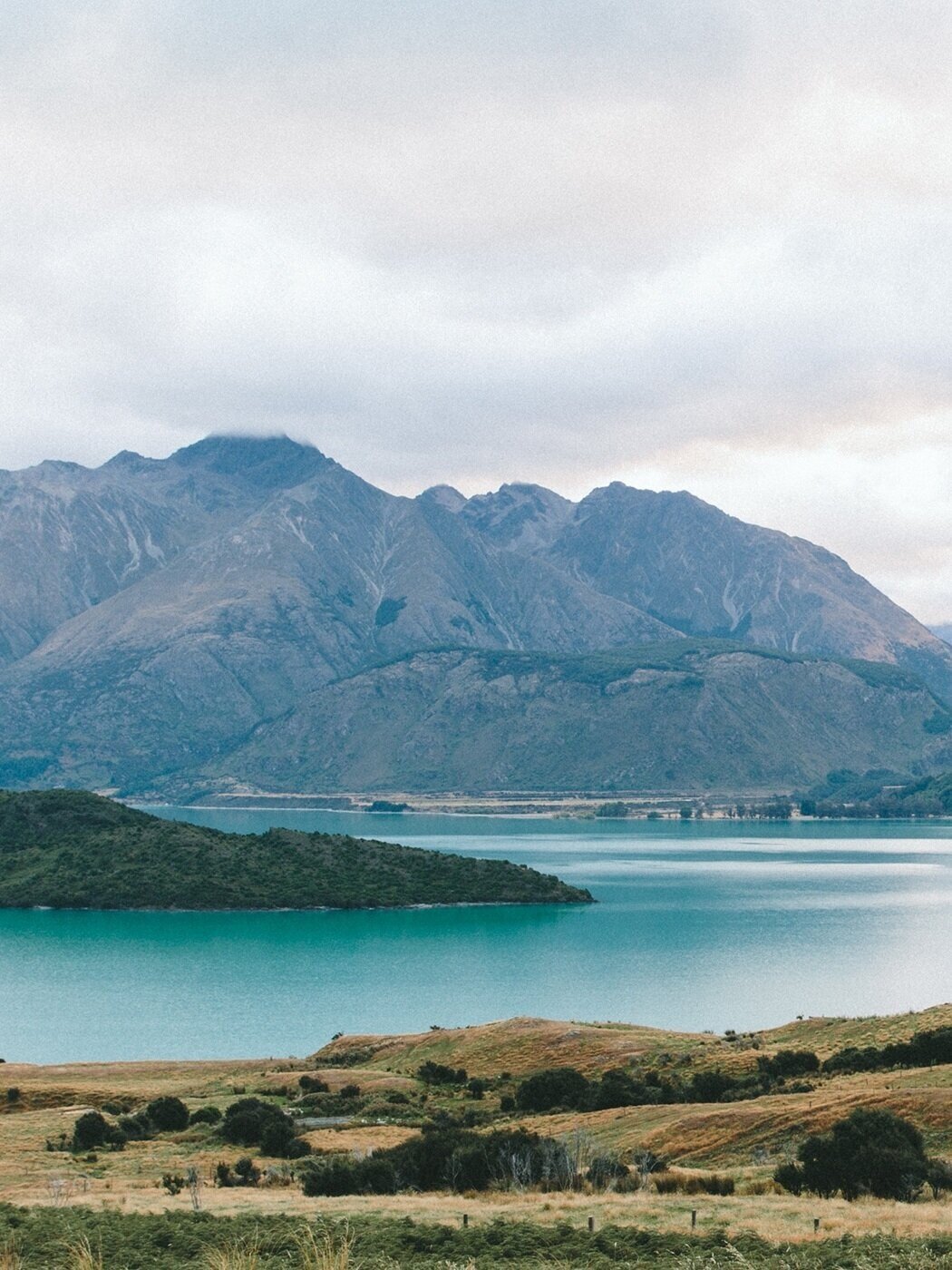
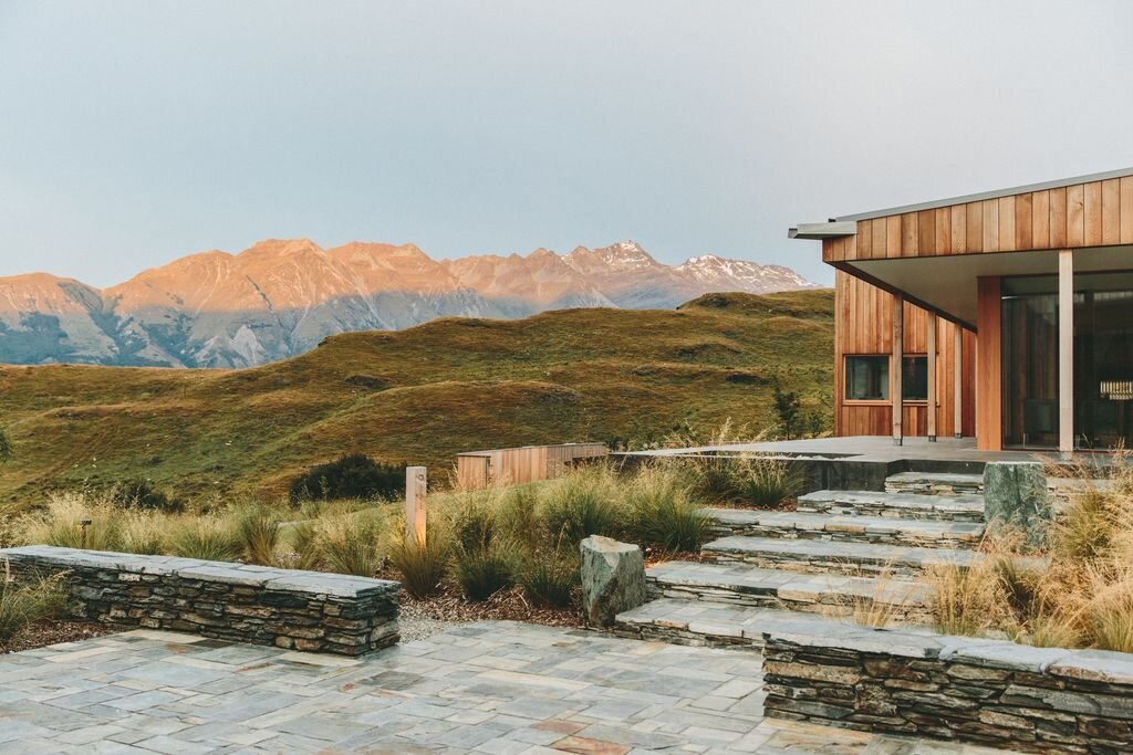
Our expertise in drone services can help you capture stunning visuals that effectively communicate your vision.
Reach out today to learn how we can support your journey.