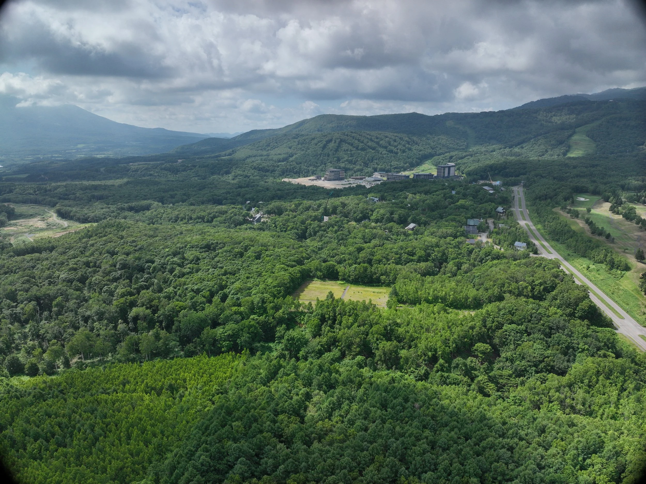
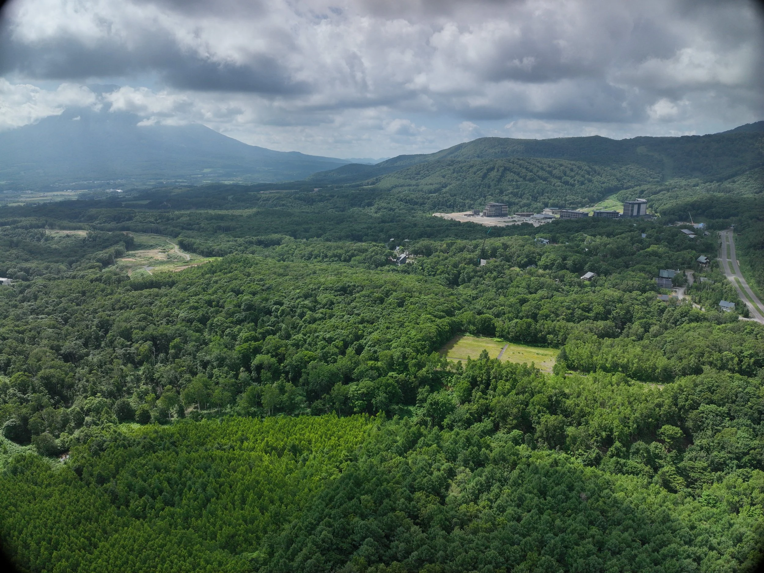
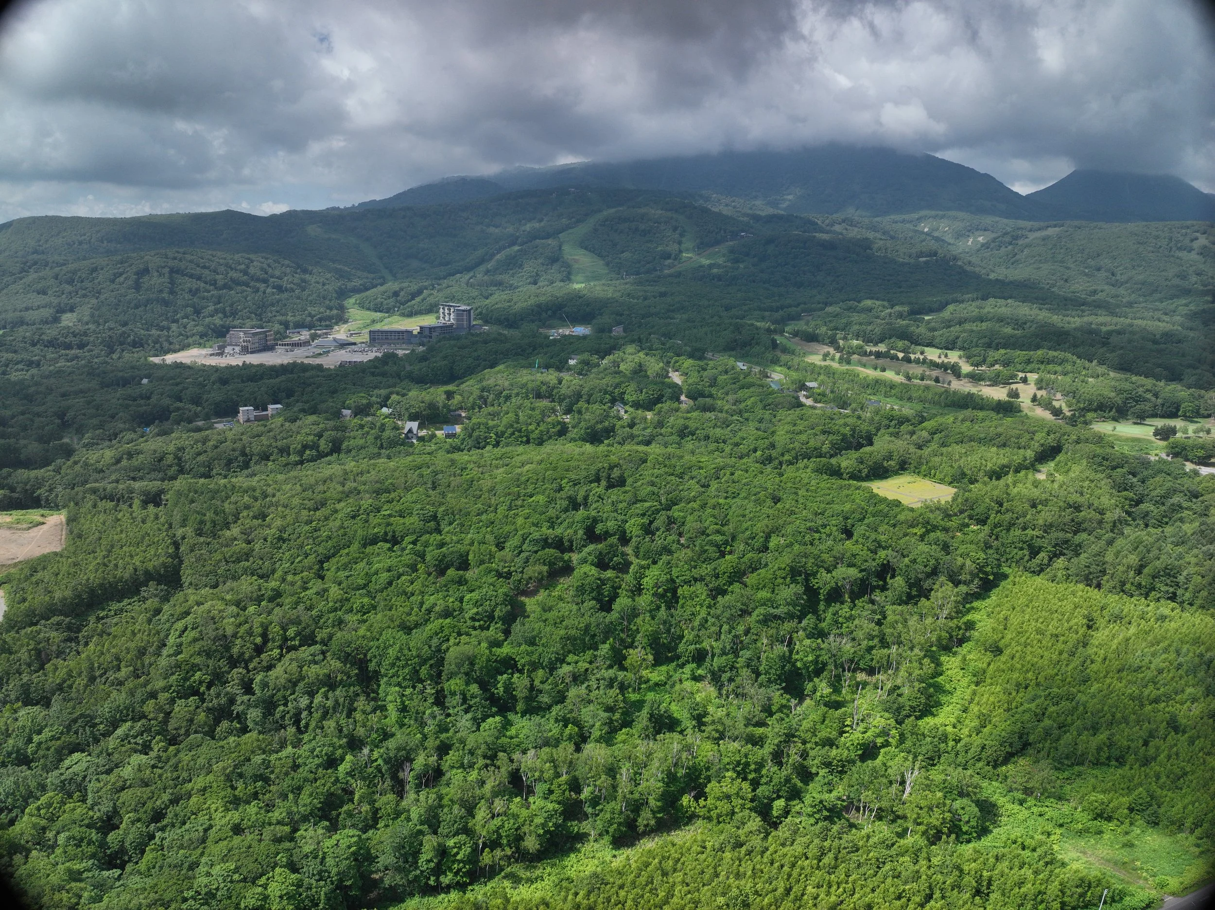
Project 8
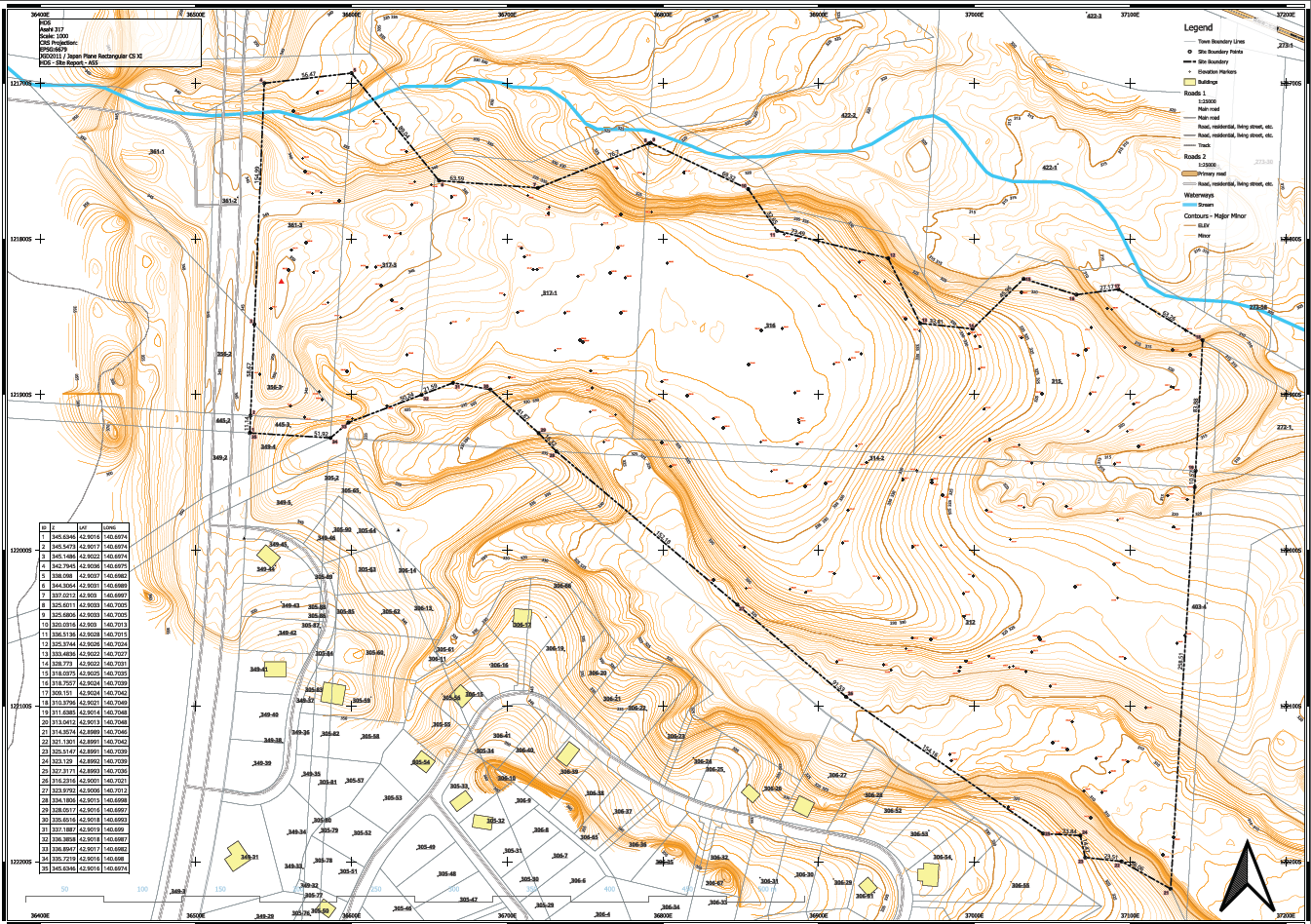
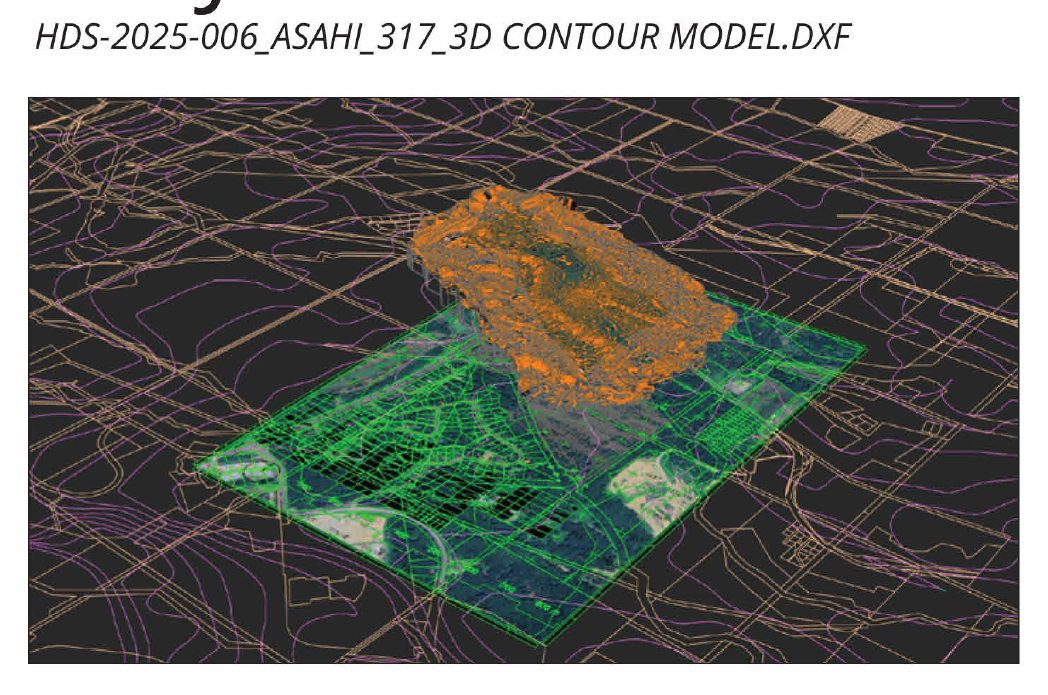
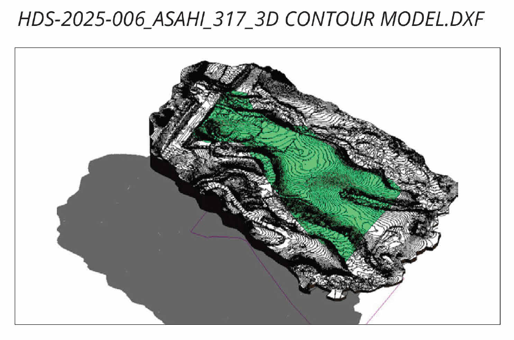
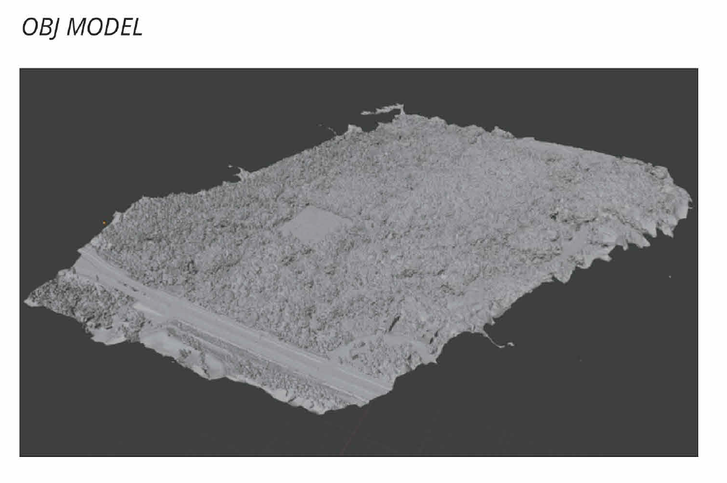
HDS performed detailed oblique mission data collection for the first time at this very large site. This presented some challenges, collection over 50Gb of data, and pushed the limits of range and flight time, but ultimately produced very hi resolution models and accurate mapping data for the client.
Tasks Perfomed
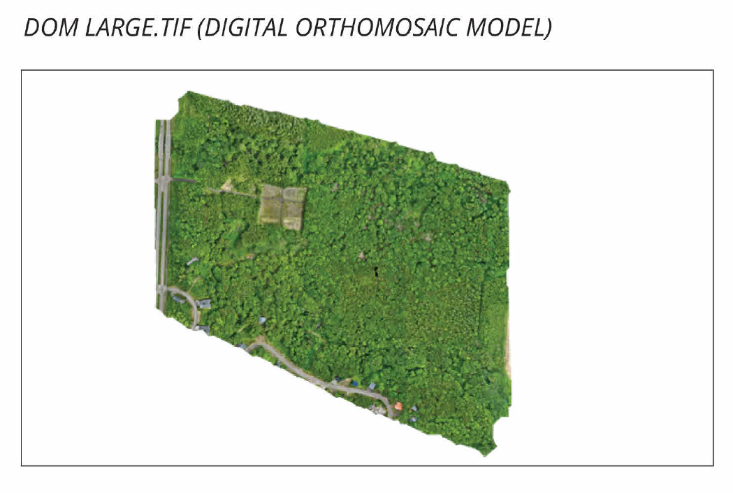
Area Mapping (Orthomosaic images)
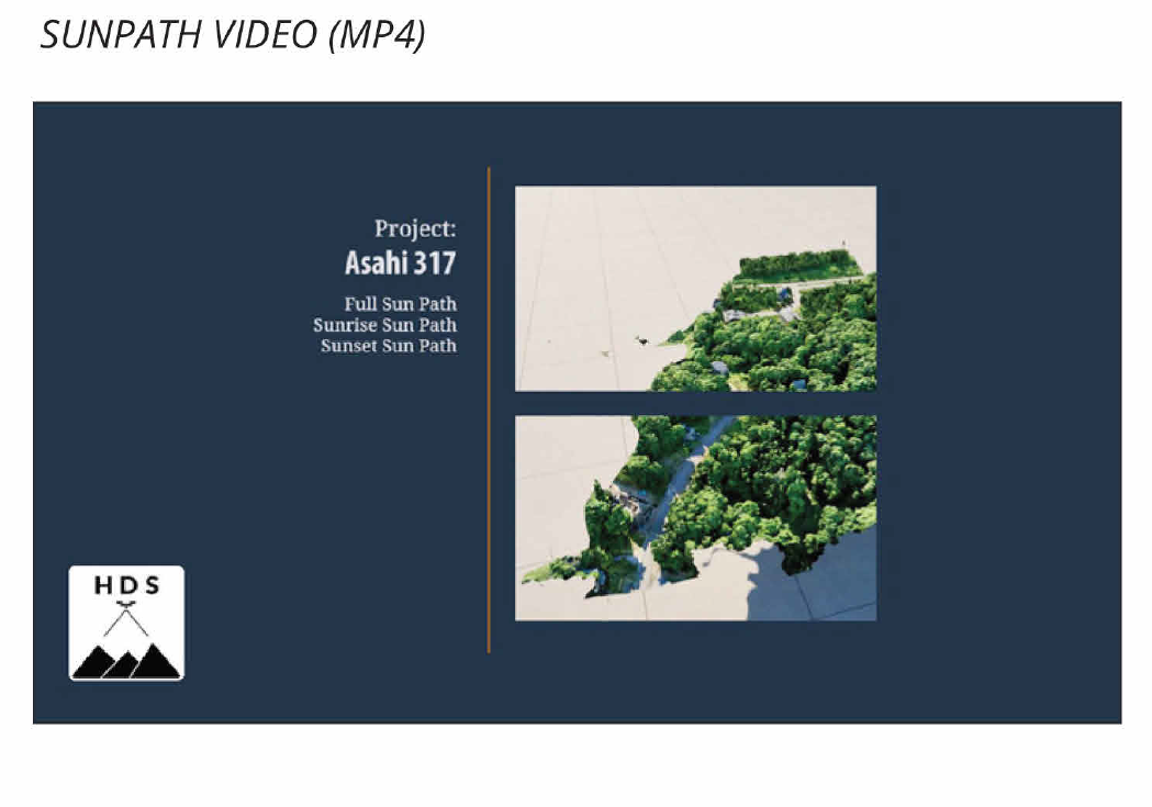
Sun-path video analysis
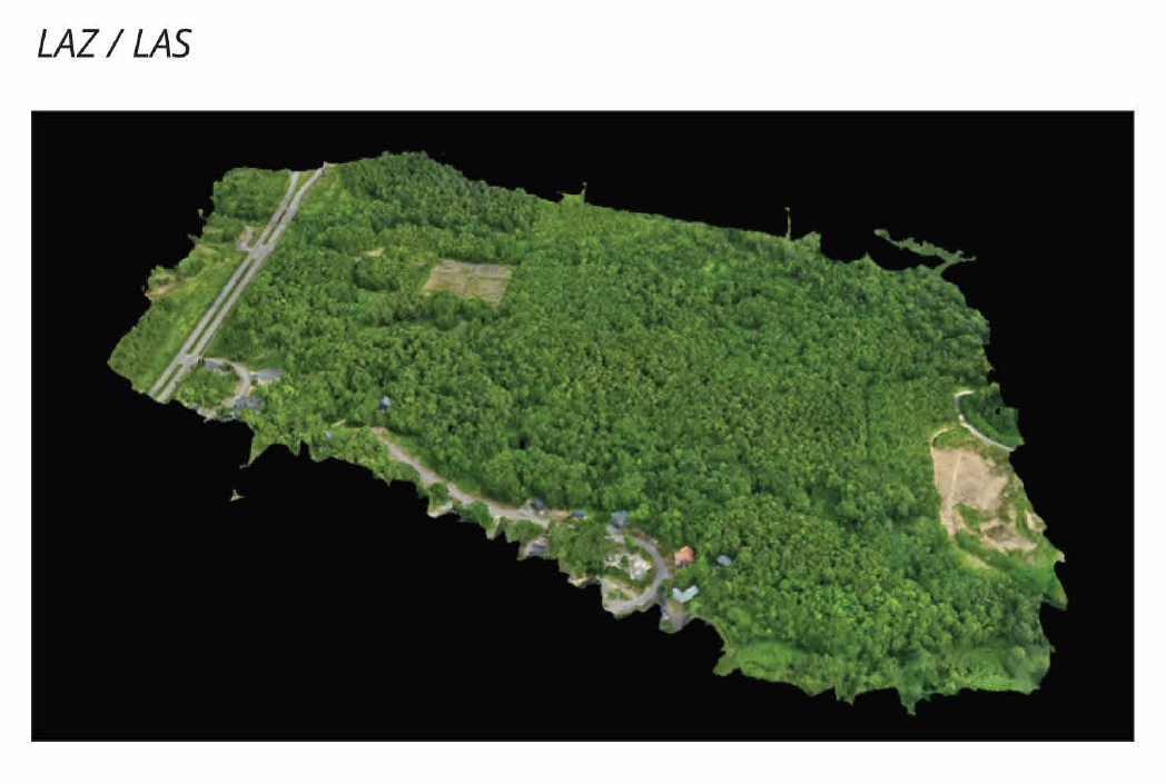
Oblique lidar scanned model production
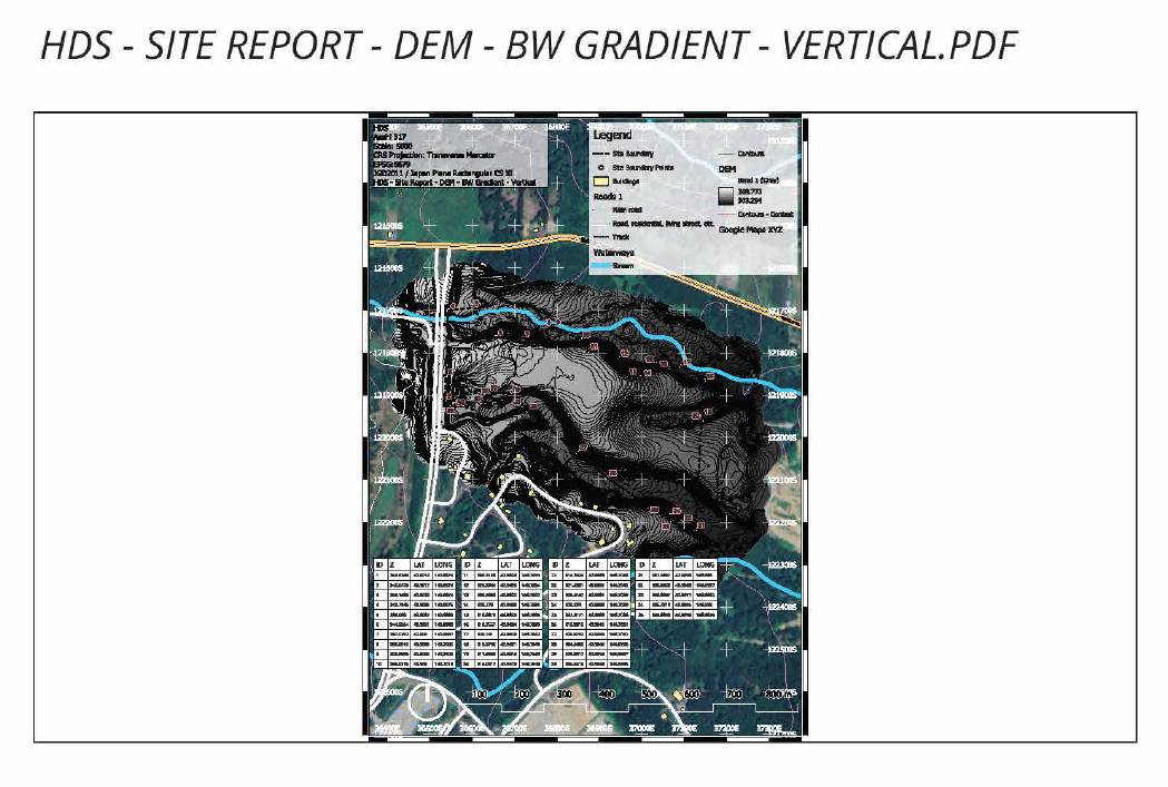
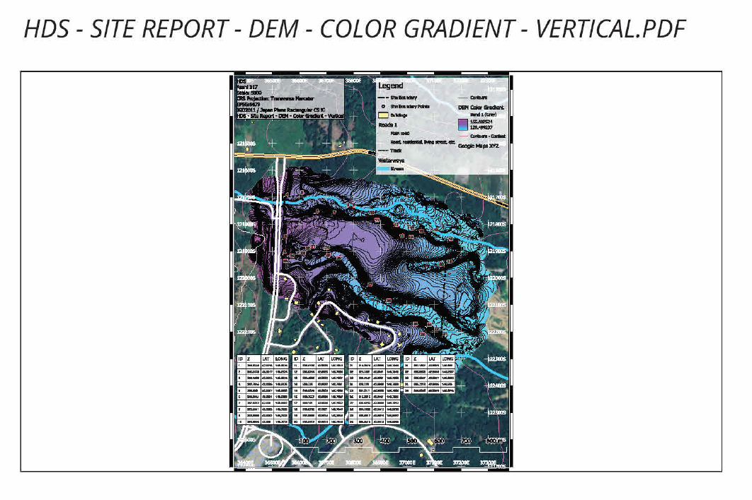
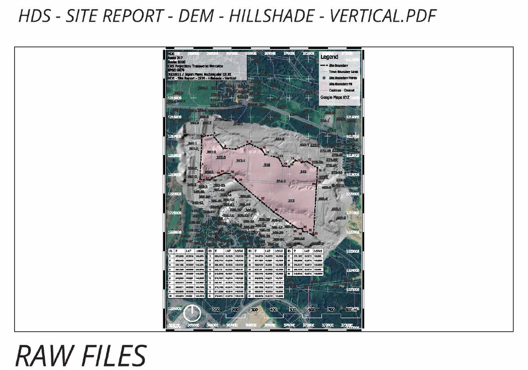
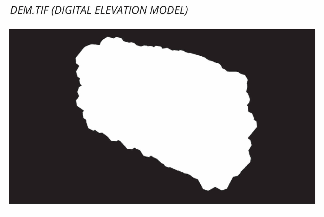
Reconstructed digital model of site
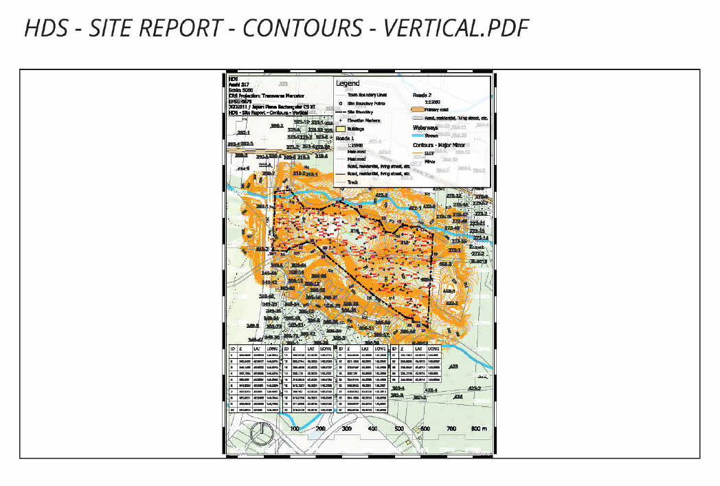
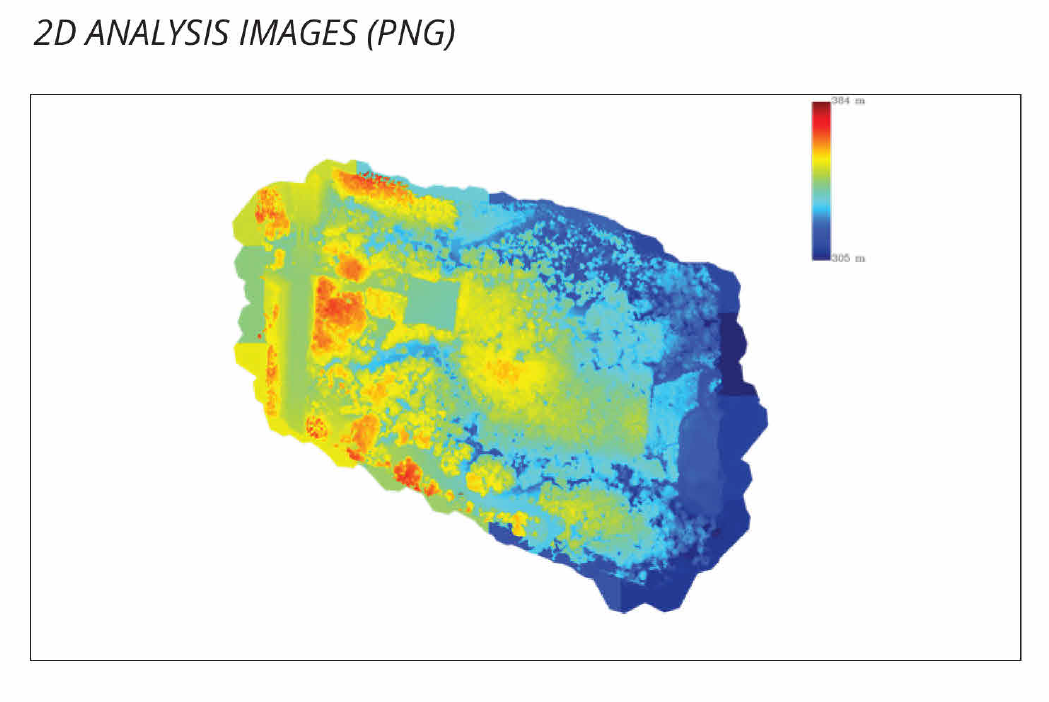
Site Analysis
Section data
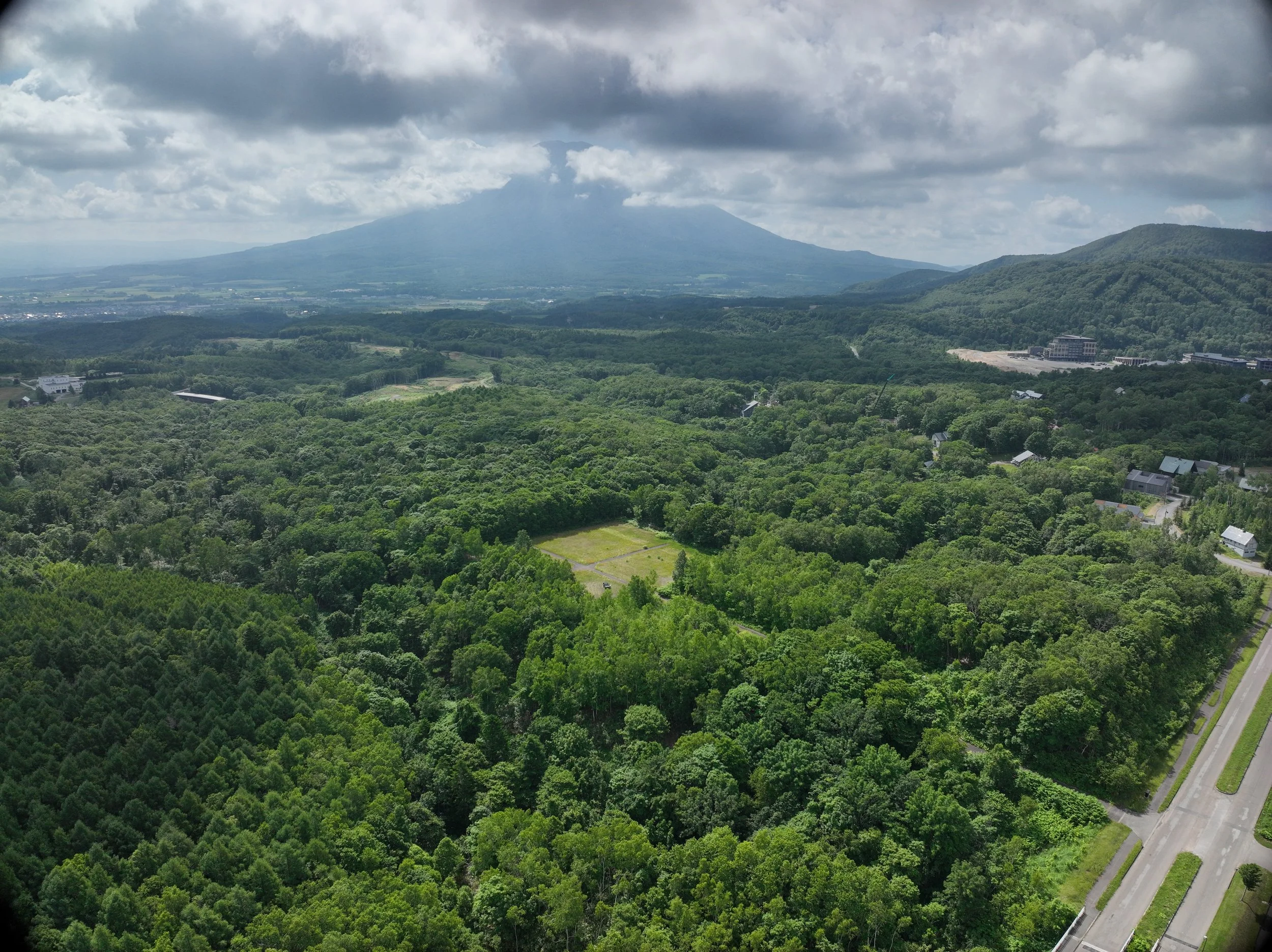
Aerial Photography
Full CAD deliverable package
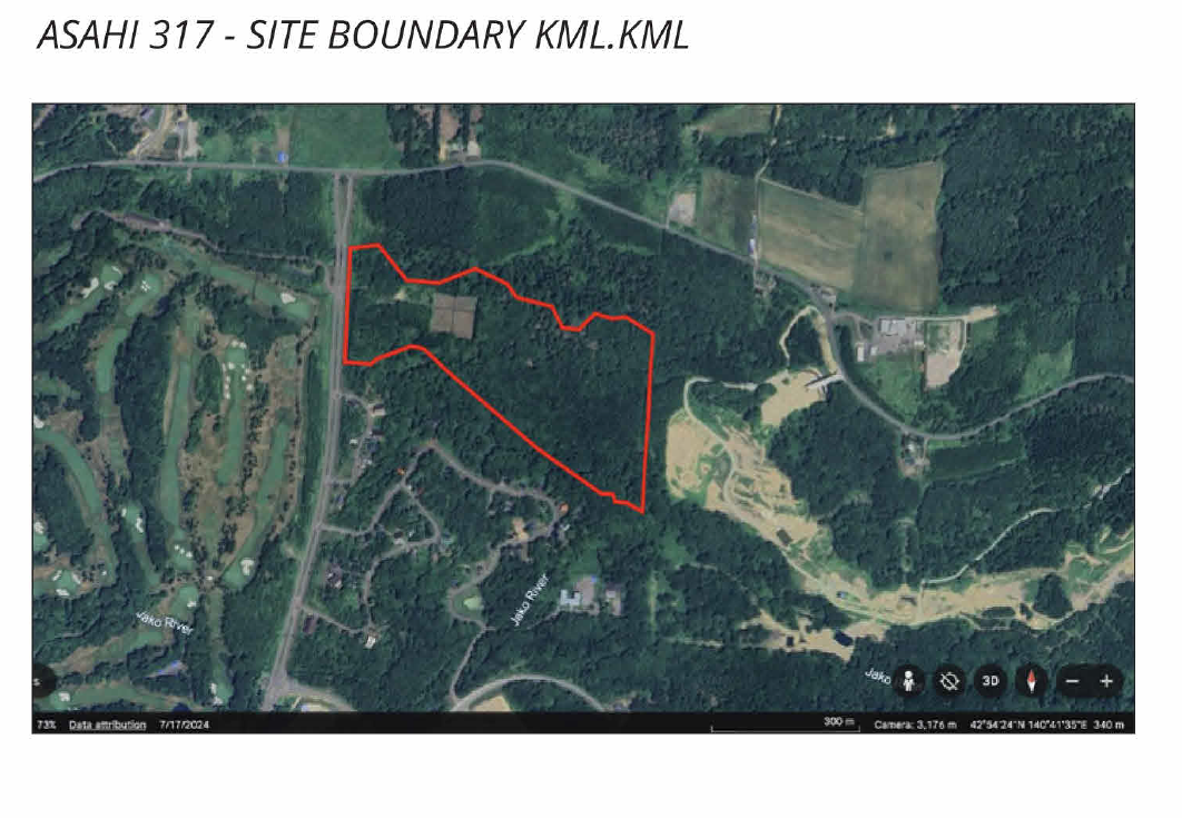
Feature, plot, and boundary referencing